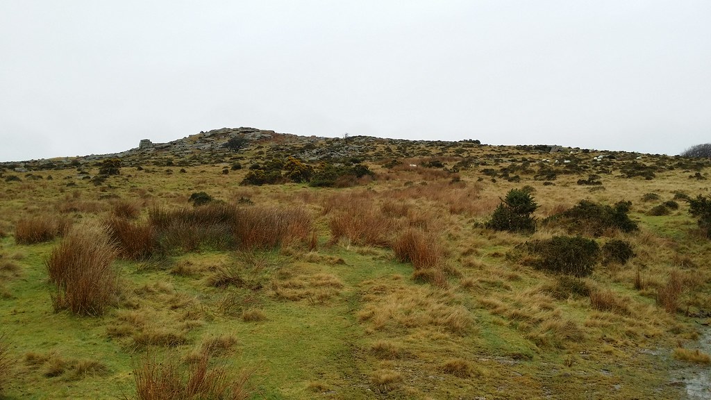
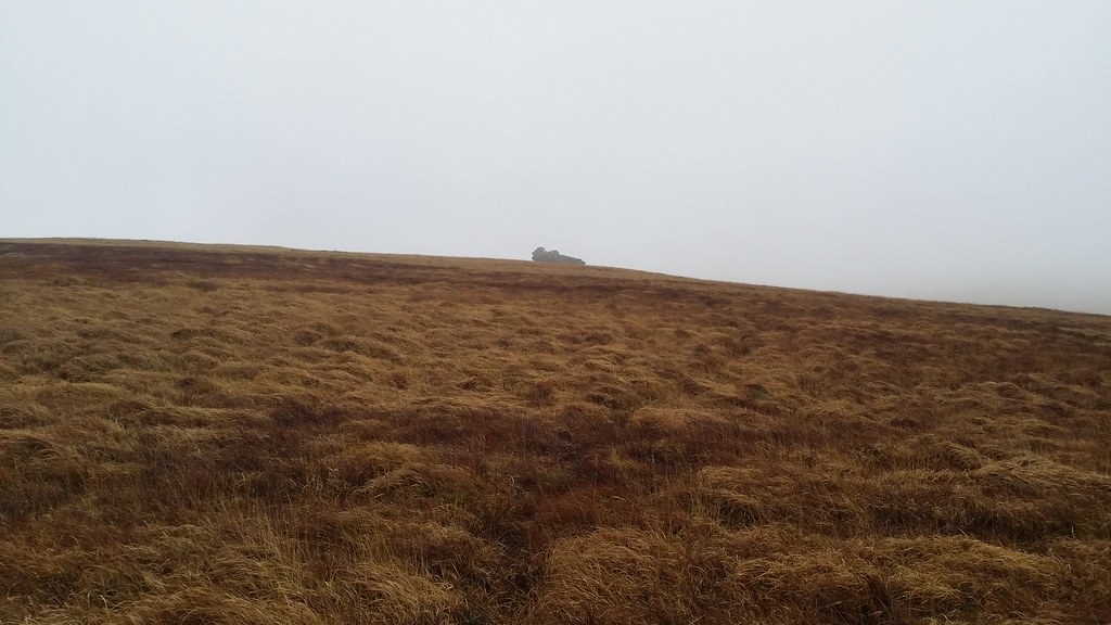
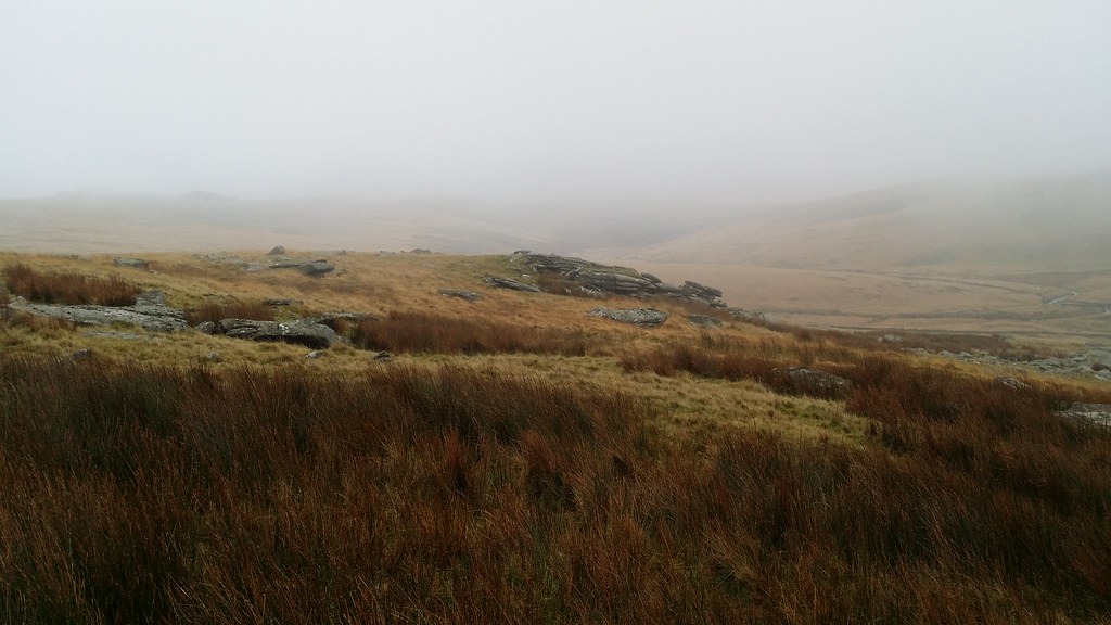
“Ah, this is more like it. This is what I expect from Dartmoor”, were my main thoughts as I trudged across a soggy, bumpy but otherwise featureless landscape through a blanket of fog. It seemed that today was the day of the test – could I handle “proper” Dartmoor ?
Sunday 4 January 2014
For some reason I chose to walk from Princetown rather than park the car at Two Bridges, thereby adding a 3 mile round trip to the walk and putting me in danger of finishing it in the dark. With this in mind, I got on with it and was conscious of time the whole day.
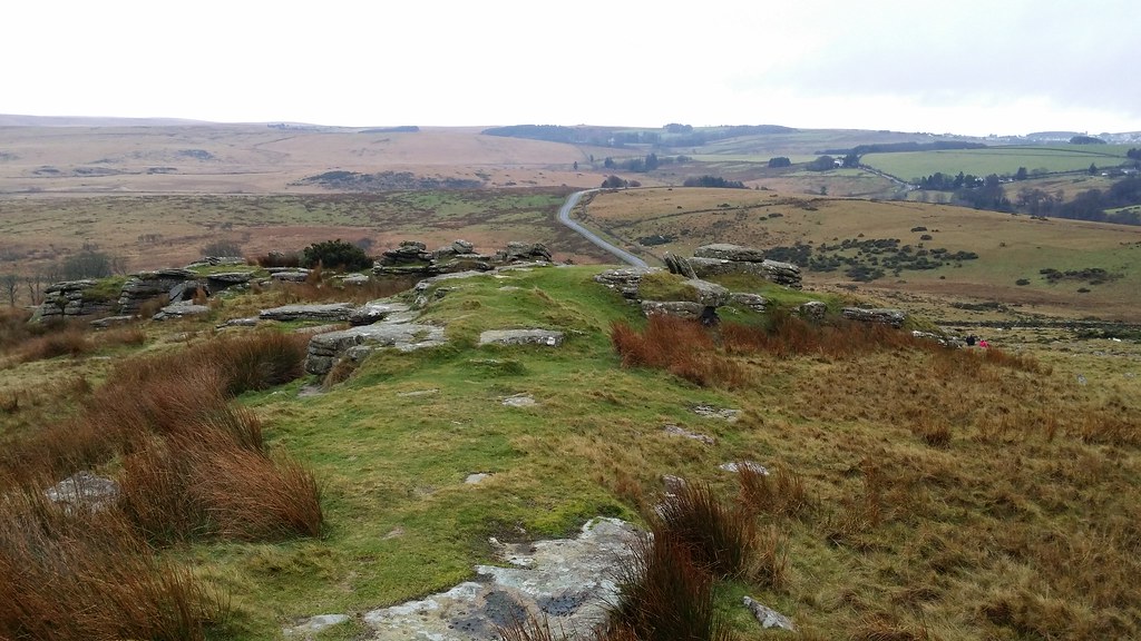
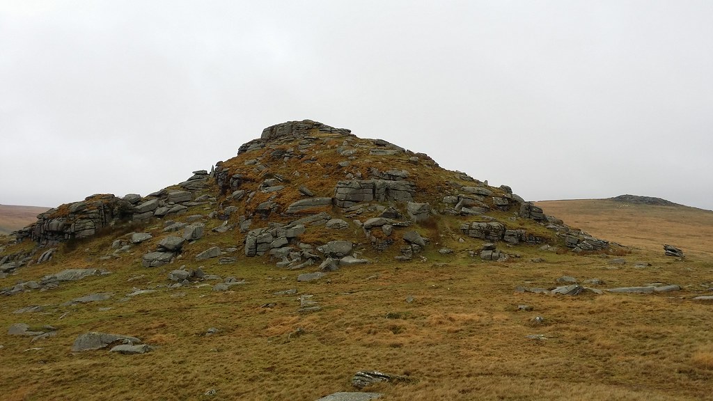
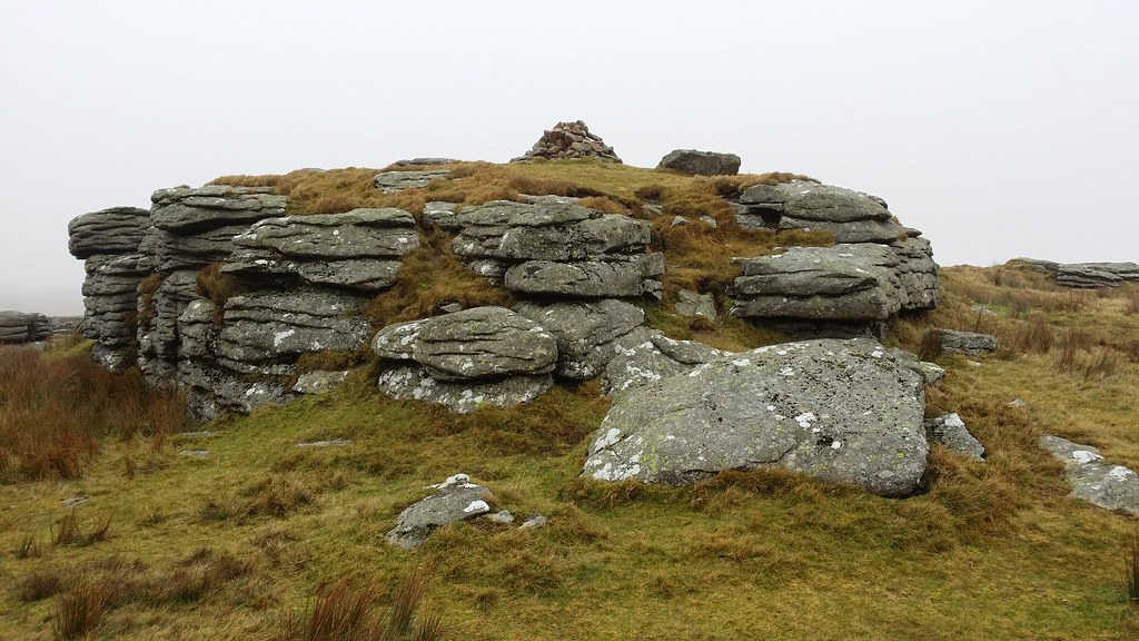
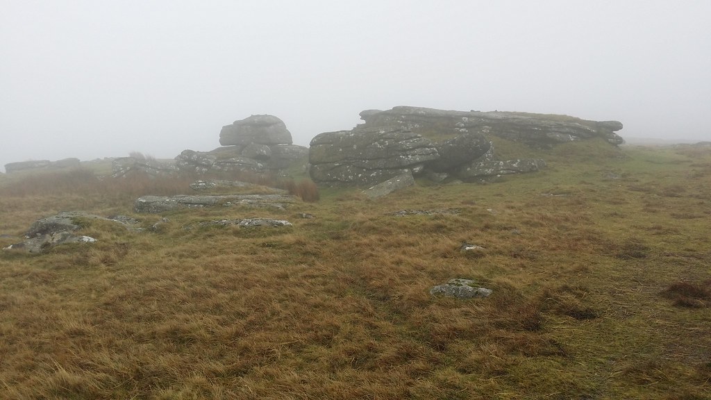
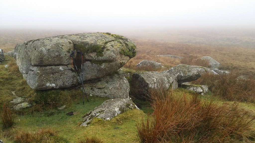
Crockern Tor was easily gained, being not far from the road, and then begun a procession of tors which all blurred into one mess in my mind, and which I realised would have to be sorted out from one another by comparing photo time stamps and anything that @advbot told me I had bagged.
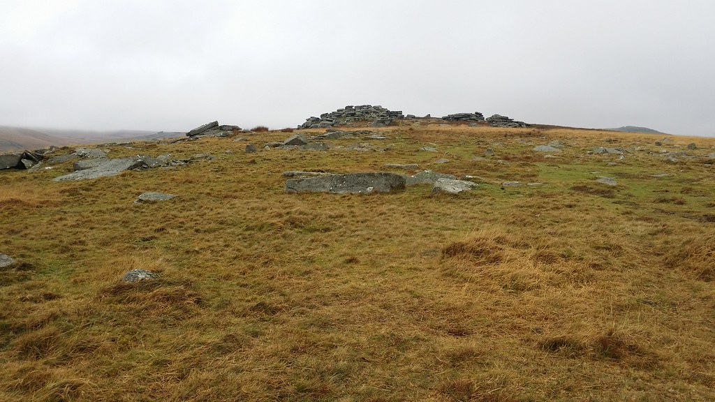
I was only sure which tor I was on when I got to Longaford Tor, because of the pyramidal shape described by Ken Ringwood in his book. In fact, comparing my Social Hiking bags, the photos and the guidebook, leads to belief we have Littaford and Little Bee Tors the wrong way around on Social Hiking.
I climbed up, watched by a group of about 8 below, it seems they were waiting for me to move on before they then climbed up, as I saw them etched against the skyline as I approached higher White Tor.
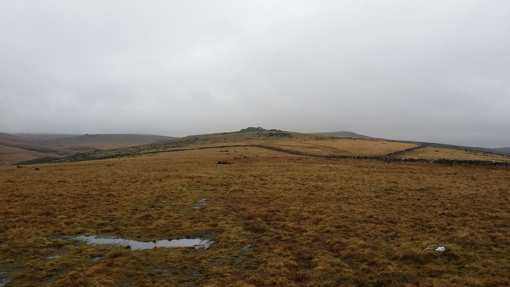
Another group caught me there and I left them to it, to strike out alongside the wall to find Little Whiten Tor somewhere on the hillside below. Finding it without any trouble other than some dampness troubling my shoes, I now had to get back to the ridge and find Lower White Tor. As I climbed up to the crest of the ridge again, mist enveloped me and would be my companion for almost all of the rest of the walk. Out came the compass and I focused on a bearing to get me back to the main path rather than one directly to the next tor – in this mist it could easily be missed (pardon the pun).
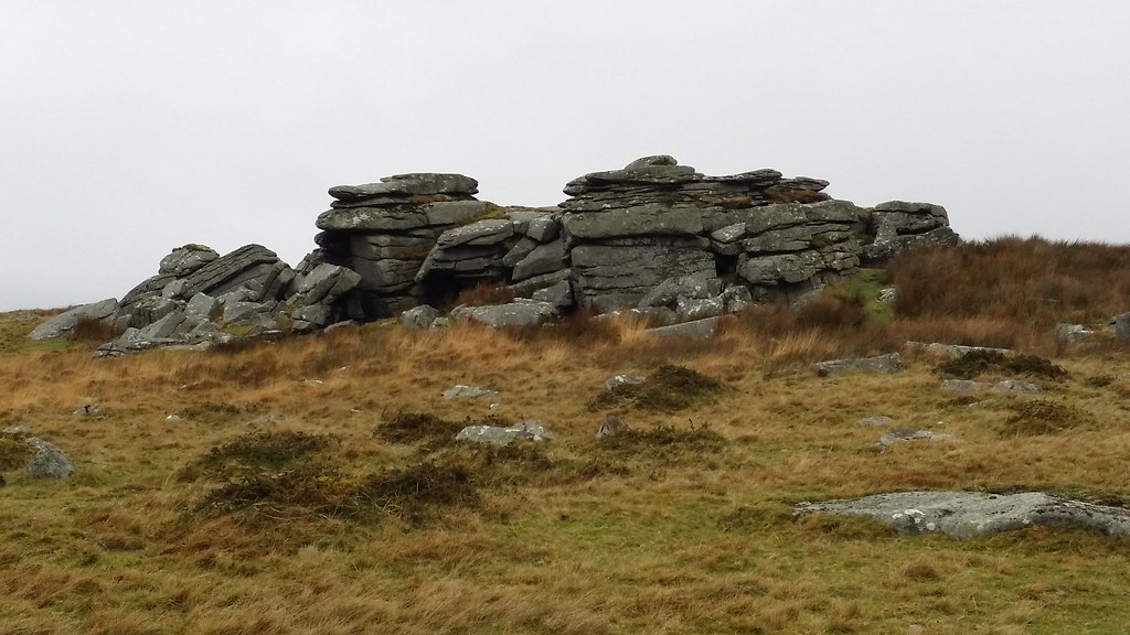
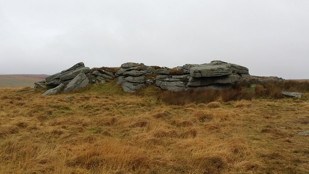
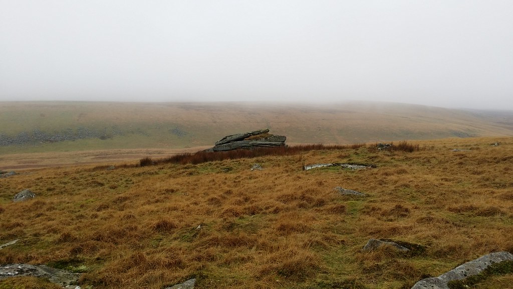
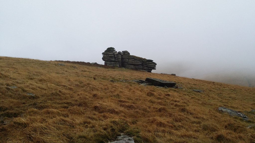
Now the tricky bit: finding Cherrybrook Rocks down at the corner of a wall by the stream. A NE bearing did the job and took me straight there. However, throughout the process I’d got it into my head that I was heading for Braddon Tor, so whilst I arrived unmistakeably at the rocks in the place I was expecting, the fact that the situation didn’t match my notes was a problem.The altitude was wrong and the description of “the most prominent outcrop isn’t the highest one” didn’t really seem apt.
Up alongside the wall to the real Braddon Tor, at which point I realised what had happened, and moreover that this wasn’t Broad Down. The description and altitude matched what I’d been expecting from Braddon Tor. However, with only two of the three tors in this game of guess the tor actually marked on my map, I decided not to attempt to find Broad Down in the mist. (I worked out later that it was Cherrybrook Rocks that isn’t in Ken’s book, but is on Social Hiking, that threw me here). I was close to my pre-programmed turn-around time already, so further forays away from the return direction were out of bounds. Especially in the mist.
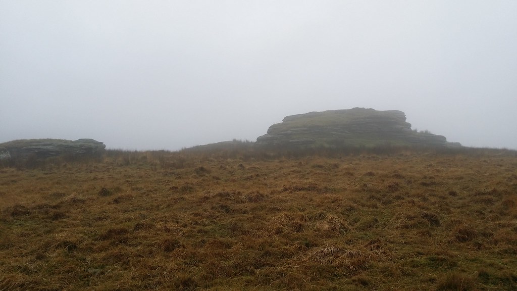
Now began the trickiest part of the walk finding Brown’s House Top in the mist. Actually I wasn’t sure if there was a tor or this was just a hill top (it was the latter). Bearings firstly northwards and then westwards to avoid unnecessary descent and reascent were the order of the day.
“Ah, this is more like it. This is what I expect from Dartmoor”, were my main thoughts as I trudged across a soggy, bumpy but otherwise featureless landscape through a blanket of fog. It seemed that today was the day of the test – could I really handle “proper” Dartmoor ?
Until recently, Dartmoor meant two things to me – the reputation of the place as a forbidding, ghostly place you didn’t really want to be on, and annual news stories about how many people had to be rescued on the Ten Tors event – even if it all went well, the story was along the lines of “Miraculously, no one needed rescuing”. Hardly a good motivator for floundering around solo in the mist on Dartmoor in mid-winter.
It took a bit of work and some blind faith in my compass (plus occasional checks of gps) before I arrived on the “top” of the flat hill, selecting the marginally highest hummock and blades of grass as my guess of the summit. But I’d passed the first navigational test. Now for the next level. A south-west (ish) cross-country trek to Rough Tor. The fence shown on the map, not appearing to be there, or at least certainly not prominent enough for me to see and use as a handrail.
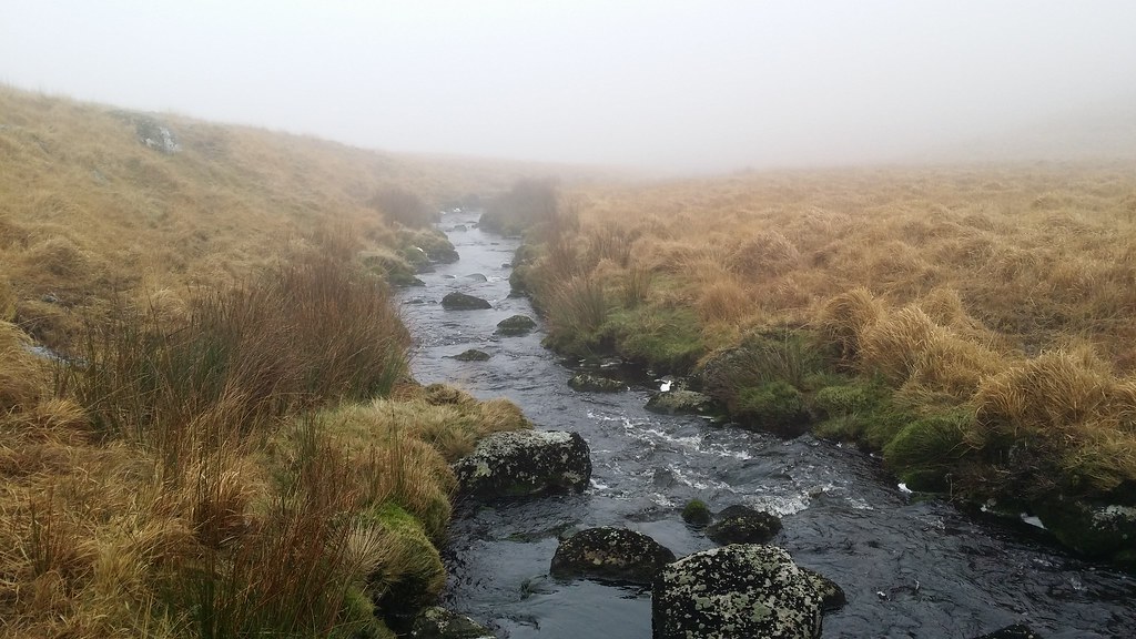
So a bit of counting paces and alternating southerly and westerly legs brought me to the West Dart and a tricky crossing – calf length in freezing water. Finding Rough Tor in the mist was simple by comparison. I walked uphill until I found a range pole and simply followed the line, bringing me to the tor.

A belated lunch stop as all that hard concentration had run the tank a bit low. But probably the trickiest part of the walk was now done. More poles took me south down the ridge and I saw Crow Tor rising through the mist to my left. Now below the cloud base I could see what I needed to do next. Reassured, I allowed myself a few minutes exploring Crow Tor and Little Crow Tor.
Now, I climbed up the hillside and contoured around to Lydford Tor, rising from the mist quite suddenly.
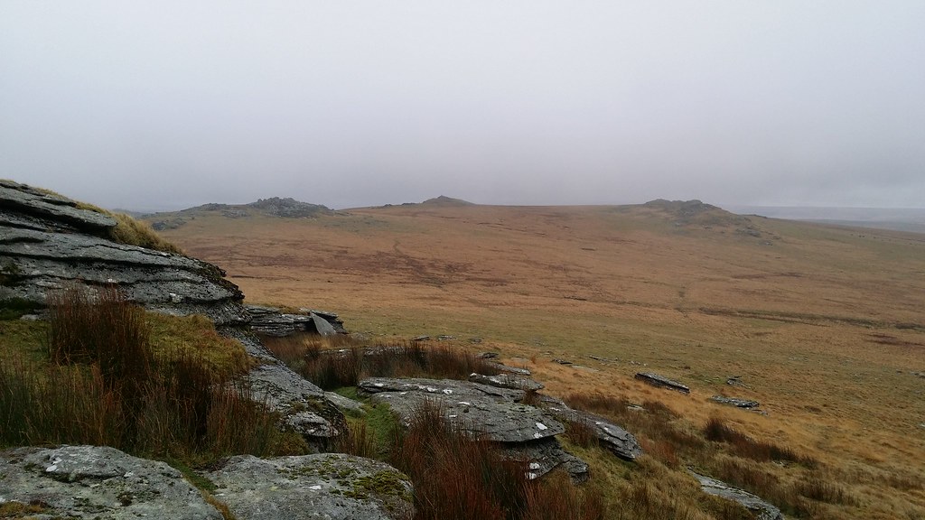
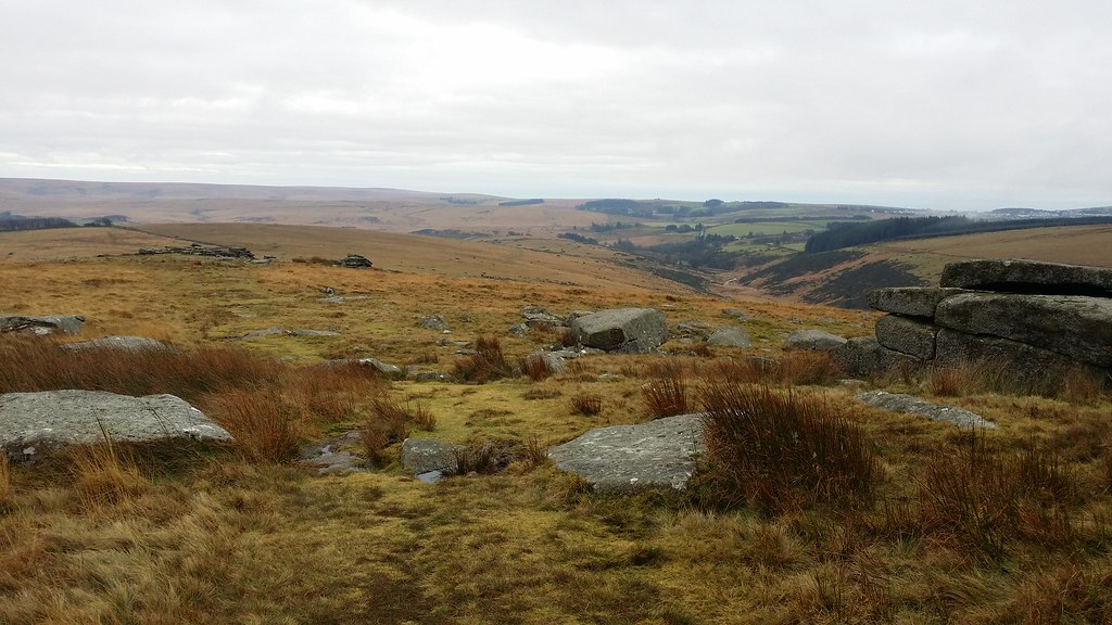
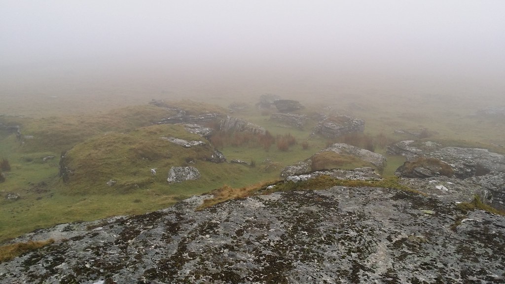
To the south lay the three outcrops of Beardown Tors, and several checks of the map were needed before I’d got straight in my head which order to tackle them in – left one first, then the one with the pole, then the right one from which the right of way (hopefully with an actual path on the ground) woudl take me back down to the road.
I got over to the first tor, clambering over the boulders just below its top. With an eye on the time, I headed for the middle outcrop and finally the last one. Phew I was done. Moreover, I was out of the mist and could see exactly where to head for in the race against sunset (not that I’d actually seen the sun today).
I followed a path line and it soon became apparent that this would take me down through the woods rather than the right of way. This would actually be shorter, so I stuck with it – there was no point trying to recover a route along a right of way which might not even exist on the ground.
I hit a farm track and walked down through the trees to Beardown Farm. A winding lane brought me to the road and the final mile and a bit back into Princetown, arriving just as darkness started to encroach.
I took several things from today’s walk – I’d successfully navigated my way through conditions and terrain that Dartmoor is infamous for, I’d done it solo, and I’d judged the timing of the day pretty well. It felt like the ghost of my 2008 walk had finally gone.
Today’s Route

That’s a good route – I have been after the Tors to the East for a while. I think you might be developing the Dartmoor bug 🙂
LikeLike
No question of that, it’s developed. Currently in the process of laminating Ken Ringwood’s book of tors and rocks into A6 cards for quick reference when out. I reckon I’m going to do a long route sometime this year – either a traverse or a big circular.
LikeLike
Impressive walk and conquering of those two Dartmoor reputations!! Sounds like you conquered them both admirably. Navigating featureless terrain is a real challenge as you know!!
LikeLike