
The Yorkshire Wolds Way is one of the National Trails of England and Wales, and at 79 miles or 127km is the shortest one on the list, winding its way up through the western side of the Yorkshire Wolds from the Humber to the coast.
The trail starts at Hessle on the Humber Estuary, just west of Hull, and initially follows the shore before swinging north to pass through a number of stunning dales and wolds before turning east to head for the coast, and the finish at Filey Brigg, just outside Filey itself.
For those looking for a longer walk, the Cleveland Way National Trail starts at Filey Brigg, the exact point the Yorkshire Wolds Way ends, making for an obvious combination.
The Yorkshire Wolds are an unusual landscape for the north of England, as they are formed of chalk – much more common in the south and east. The Wolds actually form the northernmost extent of the chalk in the UK, and because they fell under the ice sheet, the chalk has been eroded differently to, say, the North and South Downs. In the Wolds, glaciers carved deep dry valleys into the chalk, leaving a very different terrain to further south, where river erosion was more common.
The other key difference is that the Wolds is relatively unspoilt, certainly in comparison to the Downs in the south east with their heavy population load. It is quite possible to walk the Yorkshire Wolds Way and not see another person for hours – which would be unusual on the North or South Downs with their greater proximity to population centres.
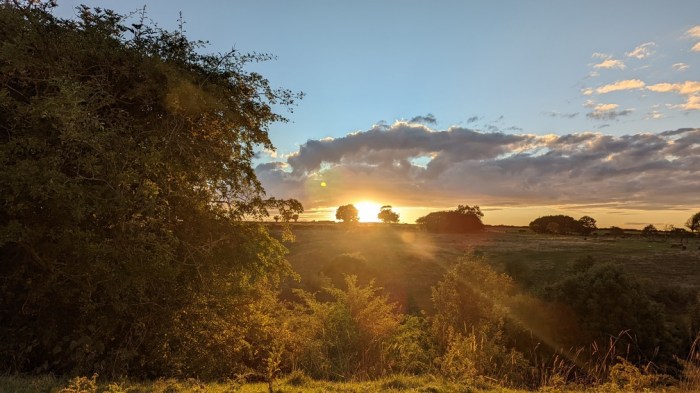
I walked the Yorkshire Wolds Way in the summer of 2022.


Guidebook AND NAVIGATION
My preferred guidebook publisher, Trailblazer, don’t produce one for the Yorkshire Wolds Way, and the Cicerone one is a secondary section in their guidebook for the Cleveland Way – which would probably be sufficient if tackling both trails.
I used the official National Trail Guide for this walk. This includes Ordnance Survey 1:25000 mapping, so I was able to get by with the book and the digital mapping on my phone, without the need to carry separate maps – mobile phone signal was good enough, except at the bottom of the dry valleys. If not using a guidebook, or using one without OS or Harveys mapping, then a separate paper map is advisable.
The trail is generally well waymarked, with few instances where I missed a turn. It should be noted, though, that the trail coincides with other local trails such as the Trans Pennine Trail, Beverley 20, High Hunsley Circuit, Wilberforce Way, Minster Way, Chalkland Way and Centenary Way and in some places the signs for those local trails may be more prominent. The coastal stretches of the Yorkshire Wolds Way also coincide with the England Coast Path, which is also a National Trail, albeit an incomplete one – and signs for this may be more prominent in those places too.