The North Downs Way is one of the more established National Trails, and traces its roots back centuries as a pilgrimage way to Canterbury and the continent. Where the Pilgrims Way hasn’t been subsumed by concrete, the North Downs Way often follows the ancient pilgrimage route, with regular detours up onto the chalk escarpment.
The Way is generally considered the modern equivalent of the Pilgrims Way, although purists may still attempt the accurate line of the Pilgrims Way – but the North Downs Way is by far the more popular and better supported trail.
At 153 miles or 246km long, it’s about 12 days work to complete the trail for the average walker.
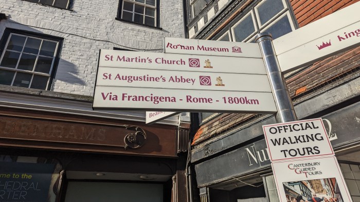
The trail starts at Farnham, in many ways an odd choice – in my view it should start in Winchester, and if you tack on St Swithun’s Way at the start of the walk, you can do exactly that (a further 2-3 days walk). It then runs along the chalk ridges through Surrey and into Kent. At Wye, near Ashford, you have a choice – whether to head directly along the chalk ridge to the sea and enjoy the white cliffs to Dover, or to take the longer more pilgrimage-y route via Canterbury.
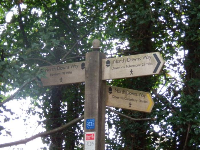
Because these two options join up at the end of the trail in Dover, it’s quite possible to simply take one arm to Dover and return back to Wye on the other – which is exactly what I did on my first walk of the trail, using the signpost pointing in 3 different directions as my end marker.

My Walk of the Trail
At the start of 2006 I started a project to walk the North Downs Way in sections whenever I could fit it in. As a Kentish Man by origin, and now living only just over the border in Essex, I consider the NDW to be my home National Trail, although technically the Thames Path is closer, especially now it has been effectively extended downriver.
In a fit of enthusiasm I set myself the target of completing the walk in 2006 which would need 10-12 day walks and which would keep me in shape for hillwalking trips during the year. Or that, at least, was the plan.
Of course it didn’t quite work out that way, and after the first few walks, other things got in the way and the walk fell by the wayside. My focus on hillwalking, particularly in the Lake District, over the next few years meant that it would be nearly 5 years before I resumed this path, and a further 5 before I finished it. But it’s done now.


In 2022, I decided to re-walk the whole trail, starting in Dover.


GUIDEBOOK AND NAVIGATION
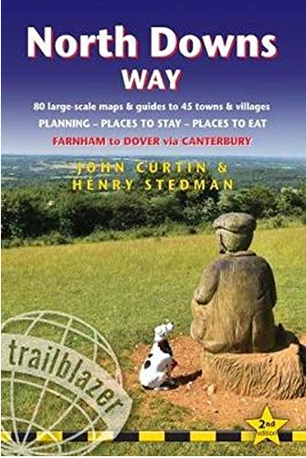
My preferred guidebook publisher, Trailblazer, do produce one for the North Downs Way, so that’s good. Being one of the more established trails, there’s a good choice of offerings by all the usual publishers, including the official guide.
On my original walk, I used the Harvey map for the western part of the trail, and then OS map printouts for the rest. I didn’t bother with a guidebook, but have invested in the Trailblazer one now, although that’s largely for reference at home than something I actively use when out on this particular trail – it’s my home trail and I know it well, so don’t really need to take a guide.
When out on the trail I tend to take the AZ Maps 1:25,000 OS map, contained in a handy book.
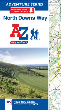
Another good option is the Cicerone guidebook, and they do the separate OS 1:25000 map booklet for the trail too.
The trail is generally well waymarked, but there are some odd instances where it goes wrong. However, the trail has a large cohort of trail ambassadors (of which I’m one) who routinely report such problems when we find them so they can be addressed.
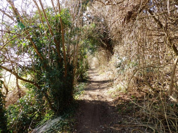
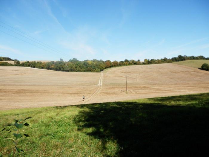
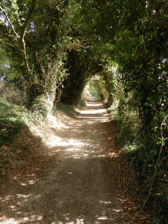
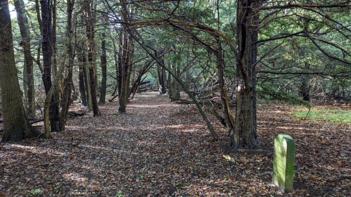
Having said this, for much of the walk the general direction is obvious, especially where walking along the top edge of the escarpment. The trail follows a lot of old byways through woodland at the foot of, or on the top of the scarp slope. The acorn symbol marks throughout, and this is only a problem between Dover and Folkestone where the trail coincides with the England Coast Path, and so you do have to look out for where the trail leaves the coast to head inland otherwise you’ll end up in the next county!
In my experience, the quality of waymarking in Kent is generally good on their footpaths as a whole, and with the North Downs Way being the headline trail, it’s unlikely you will go wrong. A map is advised though – you will occasionally find a junction of paths so bedecked with waymarks pointing in all directions, that you’ll want to check the map to be sure.