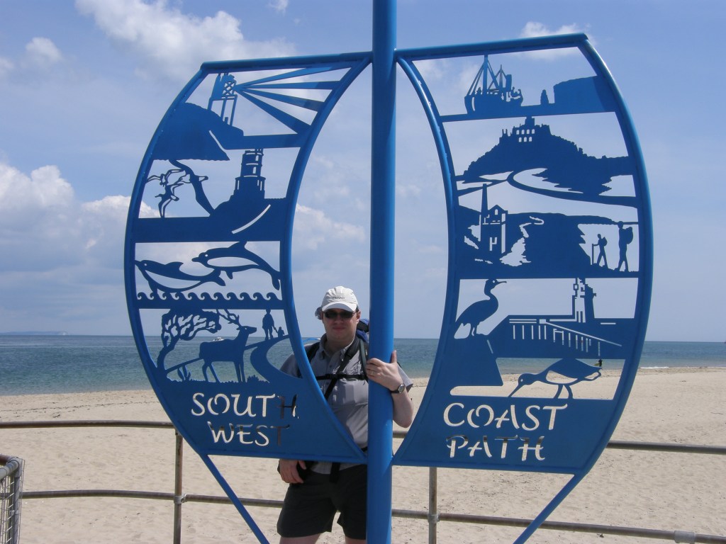
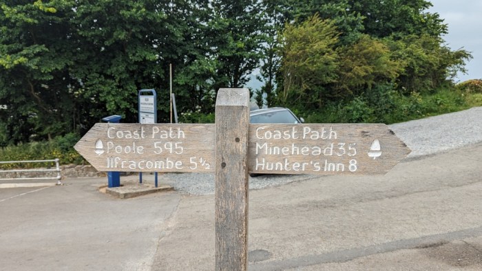
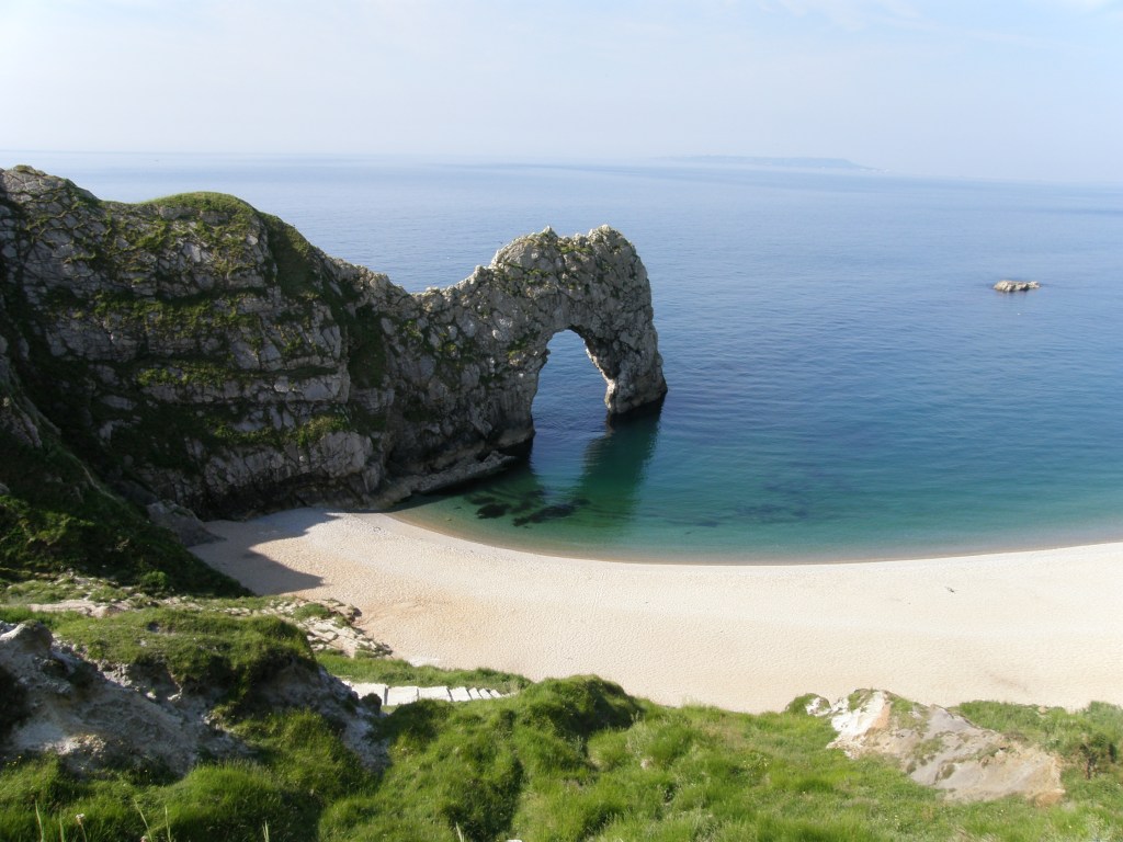
When we started the South West Coast Path, back in 2008, we never expected that it would take until 2023 to finish it. At that time, we didn’t even expect to do it all – it was just a pleasant revisit of the scene of some past family holidays. It was only after completing that first 40 mile section from Poole to Weymouth that the idea of doing more took root.
Even then, it wasn’t about doing the whole thing – it was very much “we enjoyed it so much this year, let’s do a bit more next year”. Of course by the time we’d done it 3 years in a row, it had become a tradition, and at that point I foresaw that we’d finish it in 10, maybe 11, years – so 2018.
Dad had to miss the 2012 section though, due to other family issues, and the section we did in 2013 reprised a lot of what I’d done solo in 2012 – essentially we skipped the relatively less interesting bit from Plymouth to Looe and picked it up from there. Then missing 2018 altogether, we found ourselves 2 years behind “plan” in the year we would have finished.
Having lost 2020 and 2021 to the pandemic, we couldn’t find a slot for 2022, and were in danger of the whole thing grinding to a halt, so made a special effort to make sure we tackled the last bit this year. Dad’s not getting any younger, and each year we put it off it becomes a harder walk for him. And ironically the final section from Barnstaple to Minehead is one of the tougher sections too.
So we found a slot in the diaries, neatly falling at the same time that the whole thing started 15 years before. To keep things flexible, we adopted the “Penzance strategy”, whereby we based ourselves in one place and used public transport and the car to hit the start and end of each day’s walk.
We had good weather pretty much the whole time – if anything it was uncomfortably hot.
This post has a lot of pictures, so I’ve kept the text brief…
~~~~~~~~~~~~~~~~~~~~~~~~~
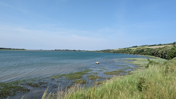
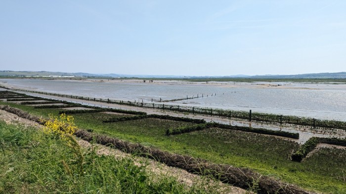
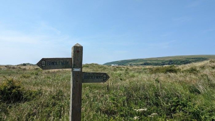
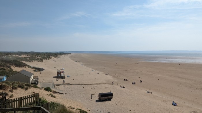
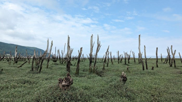
The first day was the easiest, walking along the cycle path from Barnstaple back to Braunton, where we were staying. Then we followed the dunes out to where the River Taw met the sea, and around the corner to Saunton Sands. We got a bit lost in the dunes and nearly stumbled into where a load of marines were training.
~~~~~~~~~~~~~~~~~~~~~~~~~
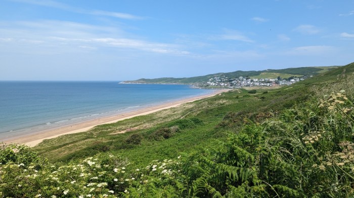
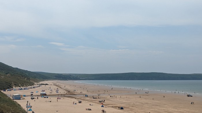
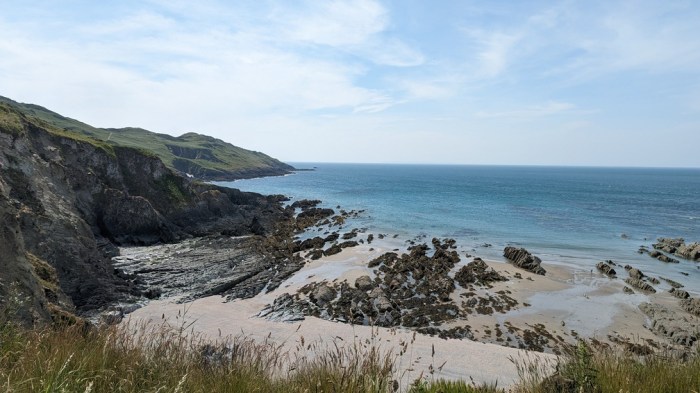
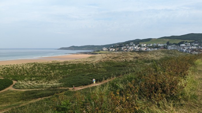
The next day was considerably harder, and indeed was the longest day of the trip, walking from Saunton Sands to Ilfracombe. Relatively easy walking around to Croyde, and then Woolacombe, where we stopped for lunch, then it all got tougher in the afternoon, and without much option to cut it short.
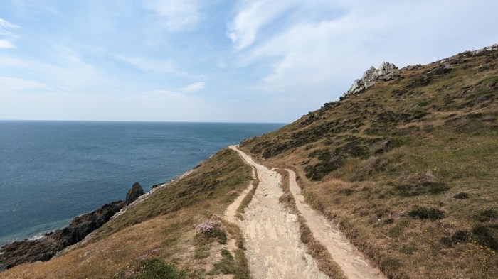
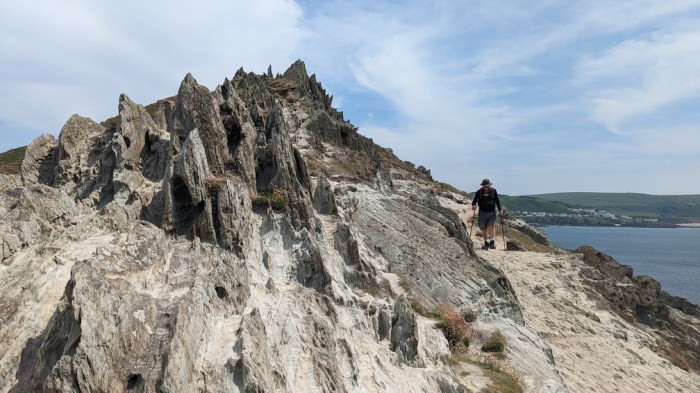
It all got a bit gnarly as we rounded Morte Point.
~~~~~~~~~~~~~~~~~~~~~~~~~
The next day, being a Saturday, we were back in Woolacombe for me to attempt the 3rd hardest parkrun in the UK – Woolacombe Dunes.
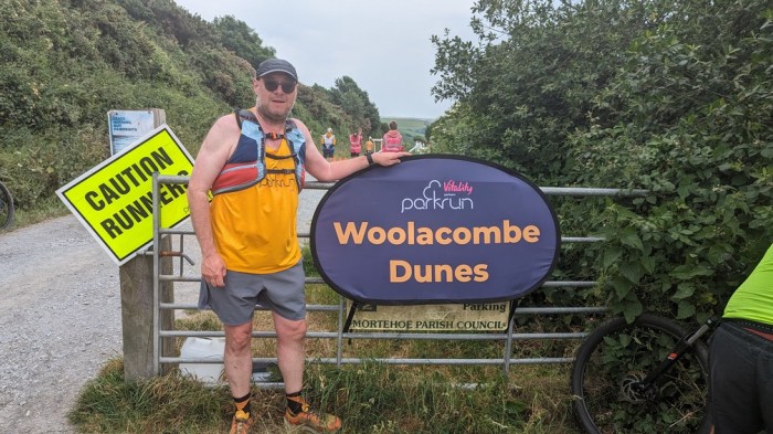
More about that in a separate post, but suffice to say it was brutal.
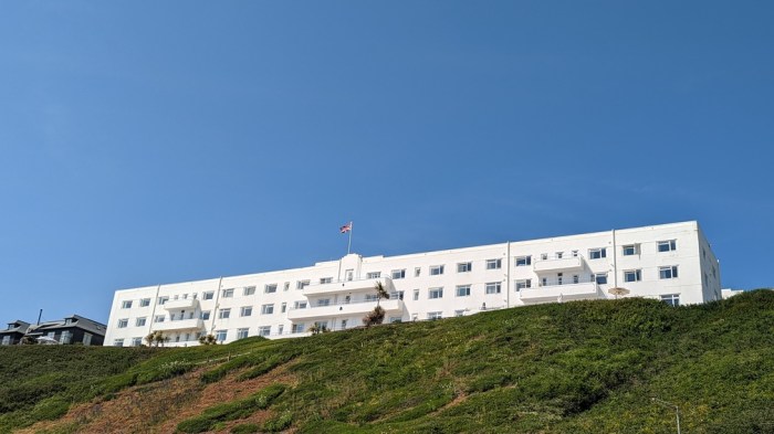
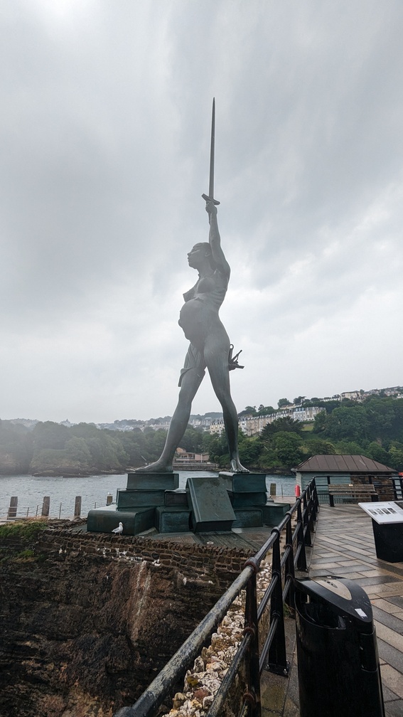
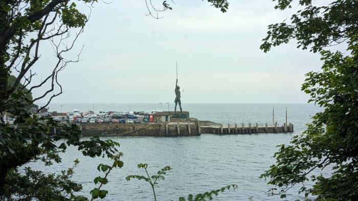
After grabbing coffee, we headed to Ilfracombe to pick up where we left off the previous day. The only real rain of the trip as we milled around town grabbing some lunch. Then we popped down to the harbour to have a look, and in particular at the Damian Hirst sculpture, before hitting the cliffs.


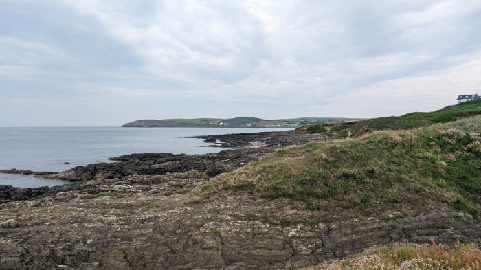
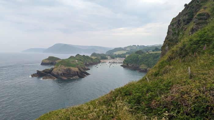
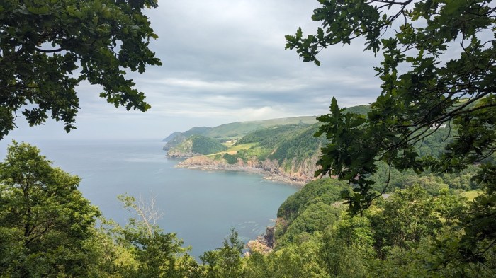
Never that far from the road today, but we saw some interesting looking coves.

The bus took us back to the car in Ilfracombe.
~~~~~~~~~~~~~~~~~~~~~~~~~
The next day we parked the car at the end of the walk in Lynmouth and got the Exmoor Coaster bus back to Combe Martin.
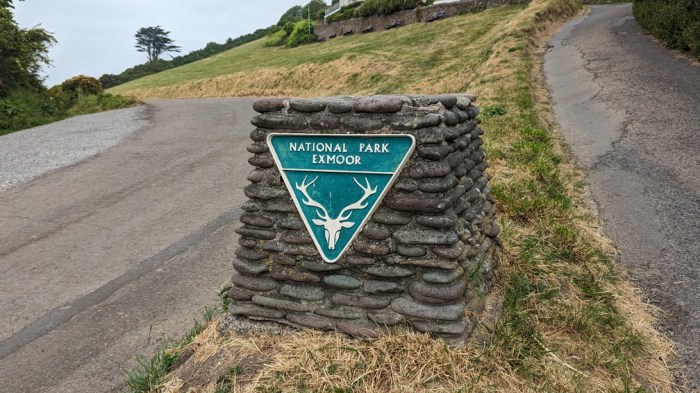
As we left Combe Martin we stepped into Exmoor National Park, which would see us almost all the rest of the way to Minehead.
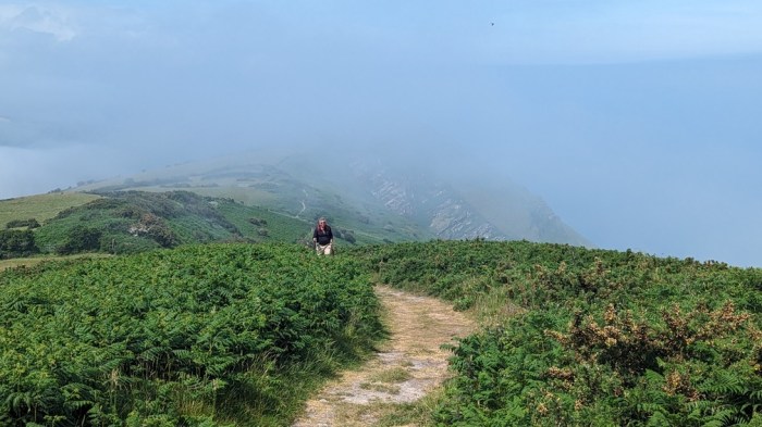
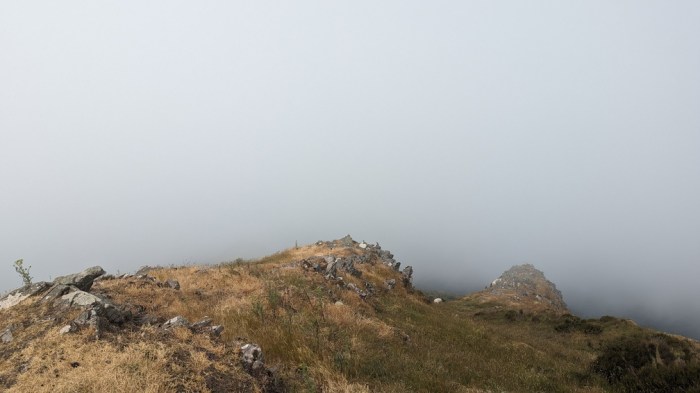
This was the first of several days with early morning low cloud hanging over the cliffs.
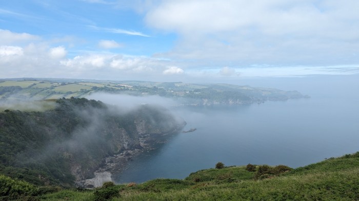
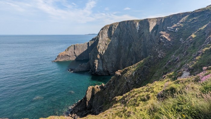
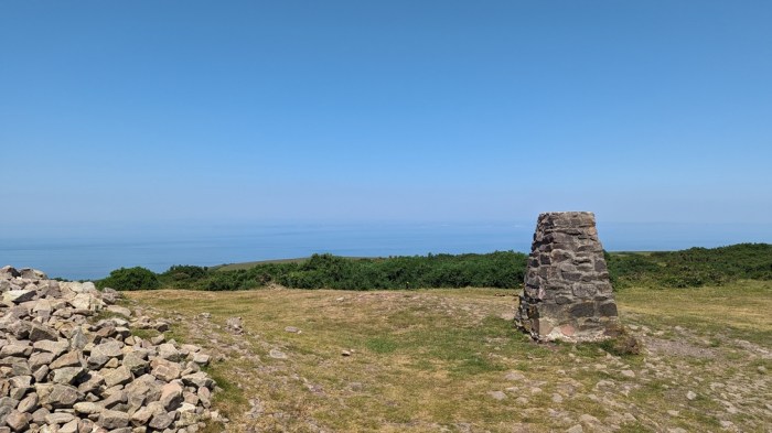
The day started with 300m of climb, luckily not all in one go, to the top of Great Hangman – the highest point on the SWCP. The cliff below is also the highest sea cliff in England and Wales.
This was the section of this year’s walk I was most concerned about, with limited opportunities to break the walk. At this point along the coast, the path is quite a way from the nearest bus route making it a bit “all or nothing”.
We had to lose all of our height gained in descent to Heddon’s Mouth Cleave, and with parts of the path being scree, this unnerved my Dad, such that we got to Woody Bay and he decided to bail.
So we headed inland for a couple of miles to pick up the bus back to Lynmouth. Unfortunately, we must have just missed one, and the next was over half an hour late, arriving right at the point we had decided to give up and attempt to find a taxi. There’d been a lot of disruption in the Lynmouth area due to a huge classic car rally.
~~~~~~~~~~~~~~~~~~~~~~~~~
Monday, day 5, came and for logistical reasons we decided to reverse that day’s section, walking from Porlock to Lynmouth.

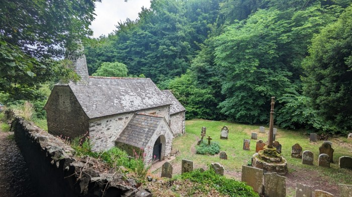
Quite straightforward at first – walking along by the beach and then the woods to Culbone. Dad started to flag in the afternoon as we passed about 1km from County Gate – the main option for a bail out. With plenty of day left, and a straightforward way up to the bus stop, I left him to walk out, while I pushed on – I couldn’t afford another unwalked gap if I were to finish the trail this trip.
Shortly after parting, I came across a load of rhododendrons which lasted for over a mile. For all that they are nasty spreading invasive plants, they do look nice.

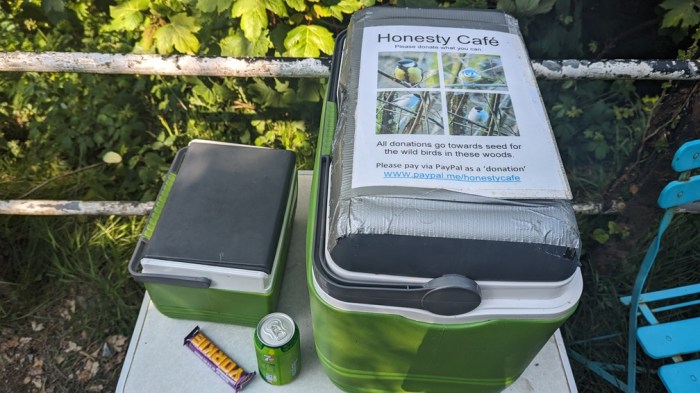
I also came across an honesty box stocked with cold drinks and snacks, so gladly partook.
A final brutal climb onto the Foreland, right after a big descent, and Lynmouth came into view. I staggered in to meet Dad, by now back at the car.
~~~~~~~~~~~~~~~~~~~~~~~~~
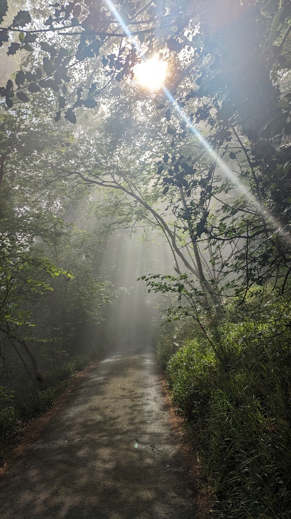
Day 6 and our final day on the trail. Today’s walk was Porlock to Minehead – only 14km, but first I had some unfinished business. Dad dropped me off at Woody Bay so that I could walk the 5 miles we’d missed a couple of days before. A glorious start with low cloud and sunlight shafting through the trees.
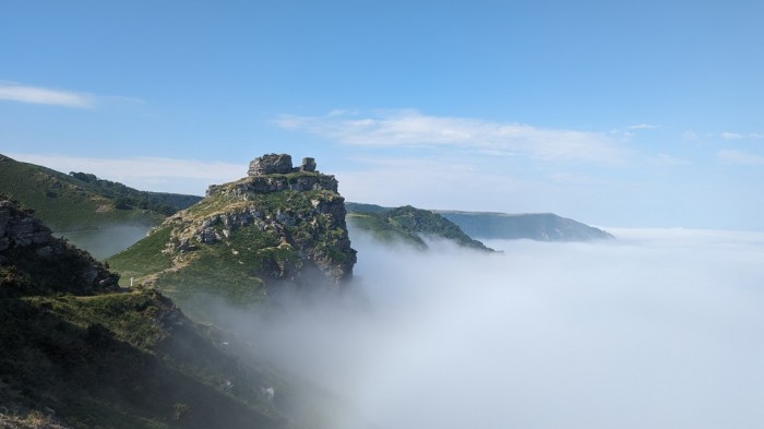
The Valley of the Rocks looking particularly stunning in these conditions.
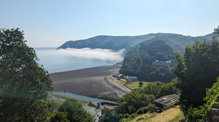
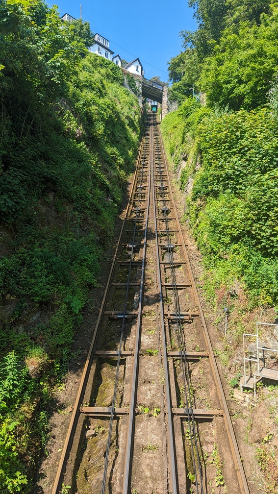
I got to the edge of Lynmouth and did the zig zag descent to sea level.
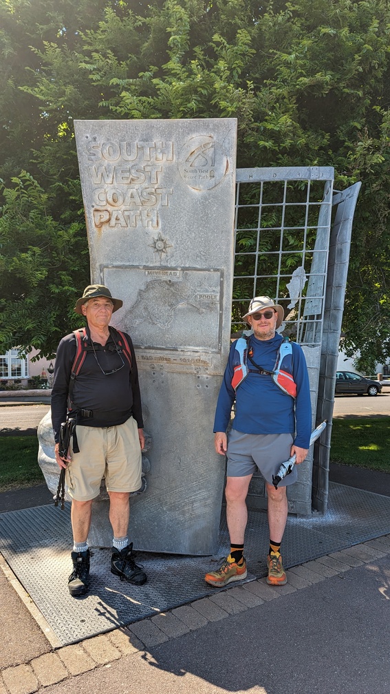
Meeting Dad there, we drove on to Minehead to leave the car, then a bus back to Porlock to begin the final section. Of course we could have simply walked from Minehead to Porlock, but I definitely wanted to complete the final section in the right way and end the trail at the start/end marker. So Porlock it was.
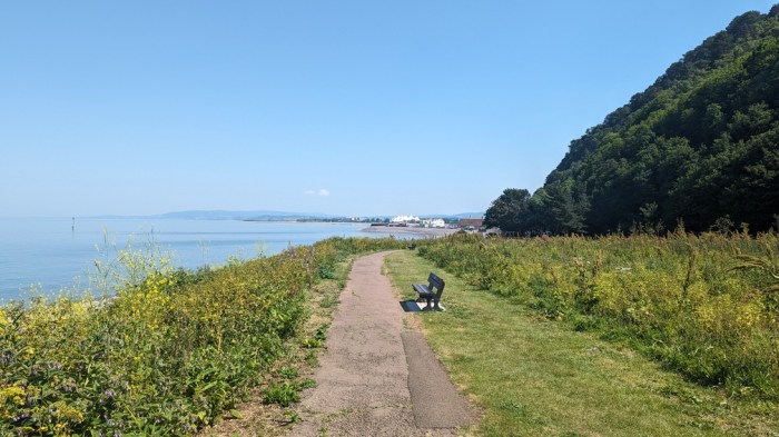
Skirting Bossington Hill, we then climbed up, with me pointing out to Dad that this was essentially the final climb of the walk. We stopped at the top under the meagre shade of a small tree for lunch. I then wanted to pick off Selworthy Beacon, a short detour from the trail, so left Dad to plug away while I popped up to the summit.
Regaining the path took longer than expected, such that I didn’t know whether he was ahead or behind me. I wasted time walking back down the path before concluding he must be ahead – which he was, but it took a good twenty minutes to reel him in. I just about caught him before we began the descent into the woods. Then it was a straightforward walk on the level (mostly) into Minehead.
Not quite sure where the end was, it came upon us suddenly, and the trail was done.
Reflections
Well, it’s done after 15 years and 67 individual walks (63 if I exclude repeated bits). I didn’t start tracking distances walked until 2011 so haven’t yet worked out how far I walked in total (it’s 829km since 2011) – suffice to say it will be more than the official 1,014km, and the ascent just since 2011 was 24,000m.
It’s been a huge adventure, even doing it in small yearly chunks. Much of the fun has come from the variety we’ve seen along the trail – particularly in the accommodation. Much of the body of stories we recount when we’re discussing the SWCP revolve around the places we’ve stayed – the nightmare ones (Penzance, the Plymouth Travelodge, and very much here’s looking at you St Austell!), the quirky ones (Burton Bradstock and Lyme Regis), and those with above and beyond hospitality (Kimmeridge, Goran Haven, Camelford, and basically every farm we stayed at).
We’ve walked in a variety of weather, but have generally been fairly lucky getting decent weather for our annual jaunts. The only time we got bested was on the south coast – it was so windy on the way up to Golden Cap, that we stopped at Seatown. It took me another 5 years to go back and fill in that gap.
And of course there’s the scenery. It’s not quite as simple as the sea being on our left the whole time – there have been inland detours due to landslips, rocky bits, shingle, sand, and plenty of big descents followed immediately by big re-ascents.
It’s hard to say which was my favourite bit of the South West Coast Path, but I particularly enjoyed the whole of the Dorset section (this was after all the whole motivation for doing it), and this year’s section from Devon into Somerset. I think this is because the landscape is, to me, more distinctive in those places. A lot of the Cornwall part blurs in my mind to much the same. I’m sure it’s not but I find it a lot harder to get excited about that part.
As for future plans, I’m not intending to simply carry on around the coast. I am going to knock off some sections of the England Coast Path, but at 4,500km it’s far too big a project for me to contemplate aiming to complete, let alone as a continuous walk – I have so many other trails I want to do.
Dad and I have talked about a project closer to home, and ideally flatter! So we may walk the Saxon Shore Way or one or more of the local rivers – both things which I have on my list anyway. We’ll just have to see how it pans out.
[In the end Dad walked almost all of the trail, just leaving gaps:
- Seatown to Lyme Regis (8 km)
- Plymouth to Looe (41 km)
- Zennor to St Ives (11 km)
- Woody Bay to Lynmouth (8 km)
- Coscombe to Lynmouth (10 km)
so he did around 93% of the trail. Which isn’t bad considering that it got harder and harder every year.]