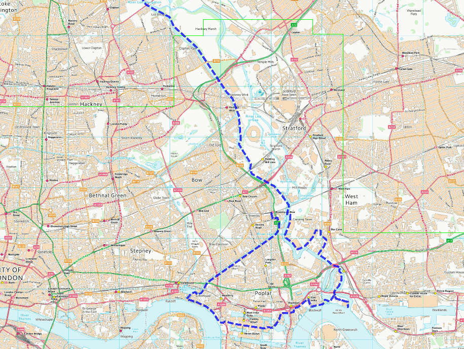
From the confluence with the Thames to Lea Bridge
Fresh from finishing the Jubilee Greenway, I quickly decided that the Lea Valley Walk was to be the next project. But unlike the JG, I’d make sure I actually finished it within a sensible time.
The Lea Valley Walk runs from the source at Leagrave in Luton to the Thames at either Limehouse or Leamouth. One of these is much more obvious as being the actual end of the Lea than the other!
The “main” path is the one from Limehouse, though, and I decided to contrive a way of doing both options. So I’d start where the two alternatives join up, walk down one, cut across to the other and walk back up that to the meeting point, from where I could continue with a single version of the Lea. Or could I…..? [We’ll explore this in the next part].
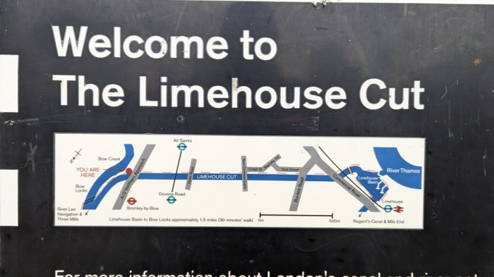
So, on a cold dry day in January, I hopped off the tube at Bromley-by-Bow and made my way to the nearby Bow Locks to join the “non-Lea” part of the Lea Valley Walk. And so onto the Limehouse Cut.
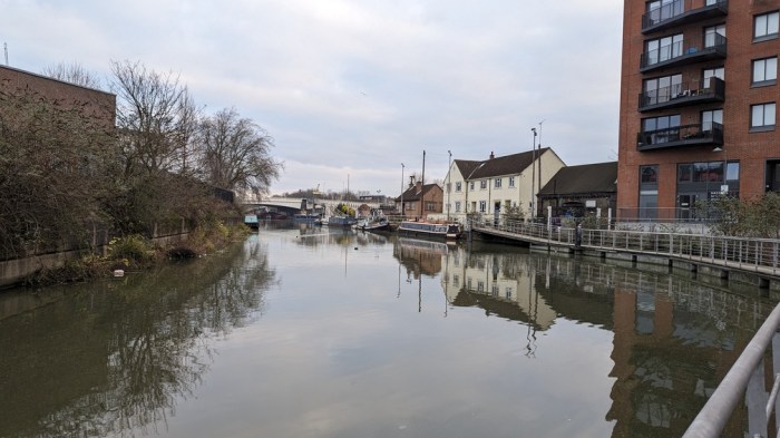
For the most part your standard canal with towpath, there wasn’t a huge amount to see. A bit of wildlife getting overexcited over some scraps of vegetation, algae having a great time in the canal waters – that sort of thing.
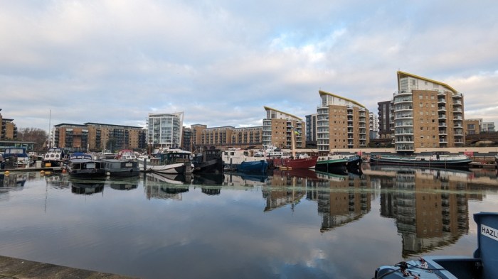
The algae was at its most dense as I approached the end of the Limehouse Cut at Limehouse Basin.

It’s here that two canals meet the Thames – the Limehouse Cut which I’d just walked down and somewhere towards the back of this picture, the Regent’s Canal, which I walked at the start of the Jubilee Greenway.

Now at the end of the LVW, I was also on my old walk to work, so wound my way through the streets to Canary Wharf.

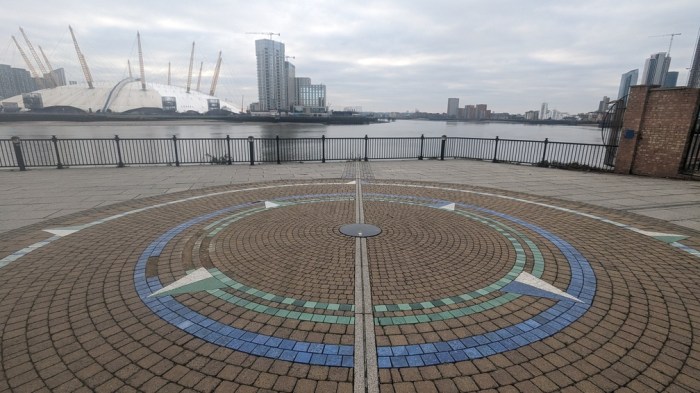
A stop for coffee, before picking my way out the less familiar side to Blackwall Basin, and then picking up the death throes of the Thames Path on this side of the river. I crossed the prime meridian.
A little further on was a monument to the departure of the first colonial settlers in North America who set off from near here to found the Virginia Colony.

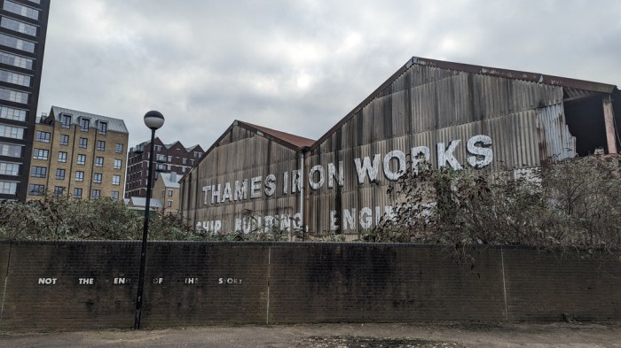
Cutting through some back streets to gain access to the mouth of the Lea, I passed an old Thames Iron Works building, whose works football team founded in 1895 evolved into West Ham United. Fitting as I’d be passing their current ground later in the day.
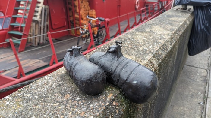
Around the corner at Goodluck Hope, an old advert for whale oil on the side of a building.

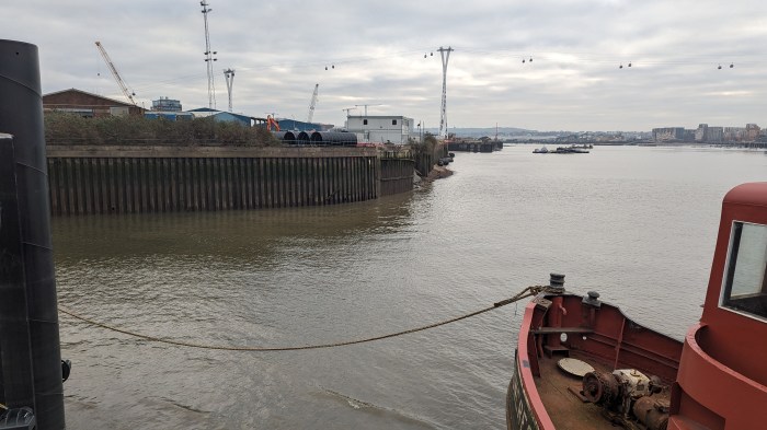
And then the waterside itself.
Here at Trinity Buoy Wharf, which you may recognise from a past series of The Great British Sewing Bee, is also the point where the Lea empties into the Thames.

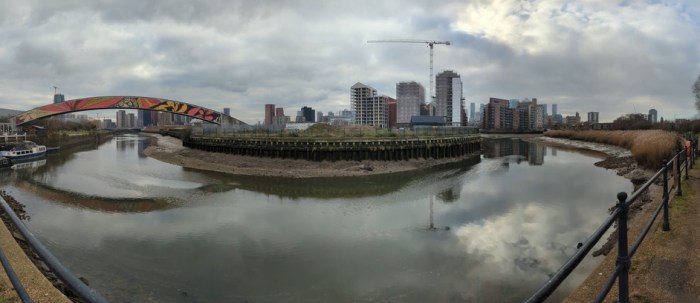
It was here at the mouth of the actual Lea, that I considered this walk to really start. So I set off up the Lea, first walking up to the northern end of City Island, where a bridge took me across to near Canning Town station.

Then around the southern edge of Bow Ecology Park to emerge into an industrial estate that required a detour away from the river due to lack of waterside access.

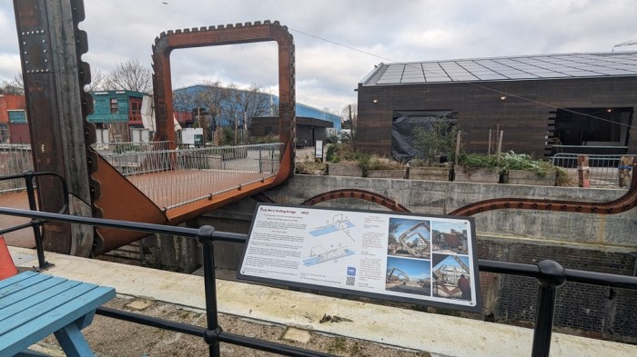
Back at the Lea at Cody Dock, I stopped at a conveniently placed cafe for a spot of lunch before carrying on, first checking out the rather strange Rolling Bridge.
With the last major obstacle behind me, I’d now be with the Lea, or at least some version of it for the rest of today’s walk.
This part of the walk also coincided with The Line – an art trail loosely based around the Prime Meridian. Here a load of shopping trolleys stuck to a pole.

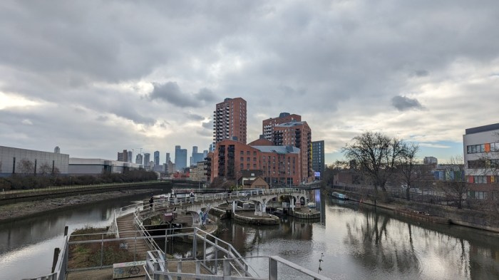
It wasn’t too long before I was back at Bow Locks, looking back to where today’s walk started.
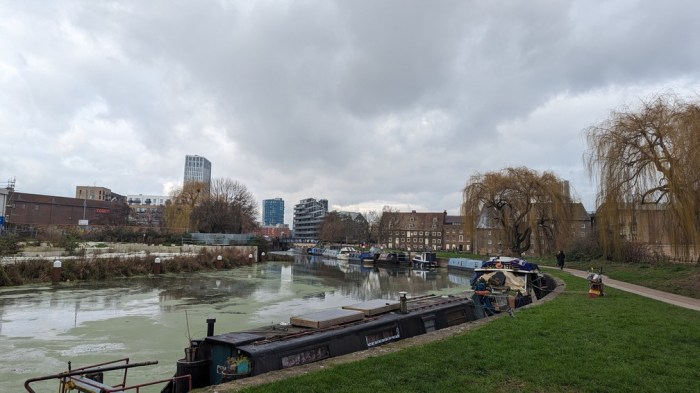
A short way upstream is Mill Meads.
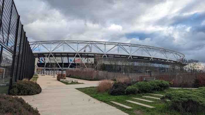
…and a little further I skirted the western edge of the Olympic Park.
Hackney next and from here on the walk along the towpath of the Lee Navigation started to get a bit samey.

So that, and legs starting to tire, made me decide to stop at Lea Bridge. I’d enjoyed the walk, and didn’t want to ruin it by starting to resent all the canal work!