What’s Happened So Far ?
In Part 1, I walked from King’s Lynn to Cromer over 4 days, choosing to split the walk in two there rather than struggle on legs that just weren’t playing ball.
A couple of weeks later, I was on holiday, when my wife spotted this:
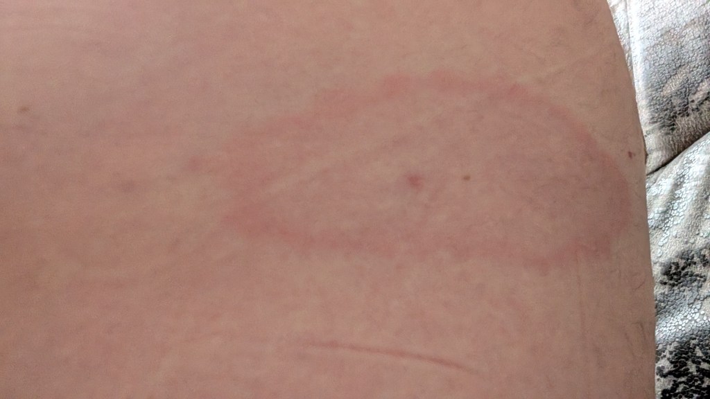
I remember taking a tick out on night 2 from about this area, was pretty happy I’d got it all and then thought nothing more about it. I’d had no symptoms other than a bit of an itch.
It took me another week or so to get to the doctors to get it looked at due to being on holiday, but the nurse was convinced enough what it was to put me on antibiotics straightaway while blood tests were being done.
Thankfully, the rash disappeared, nothing came back in the blood tests, and all seems well. I’m blaming the long grass on the first day of the NCP – as in the bit I really didn’t need to do, as I could have simply got the bus to Hunstanton and started there.
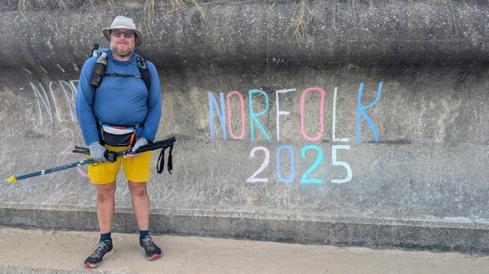
So it took a few weeks, but finally I was ready to get back to Norfolk and finish the job.
With about 70km to Lowestoft (if I did the 8km extension from the actual end of the NCP), this should take 2-3 days. With a looming, but temporary, return to work I found 3 days to squeeze it in, otherwise I might never have done it.
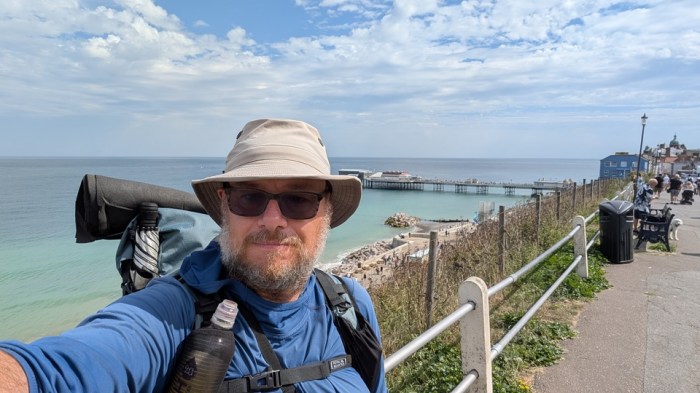
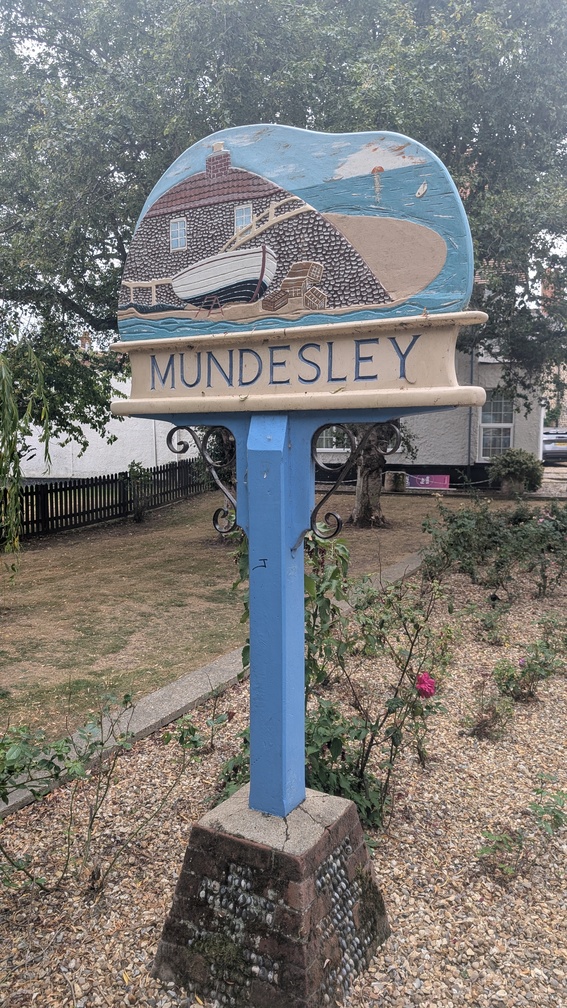
Day 5: Cromer to Mundesley
16km and 192m of ascent
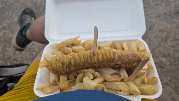
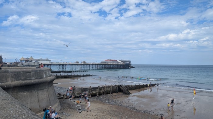
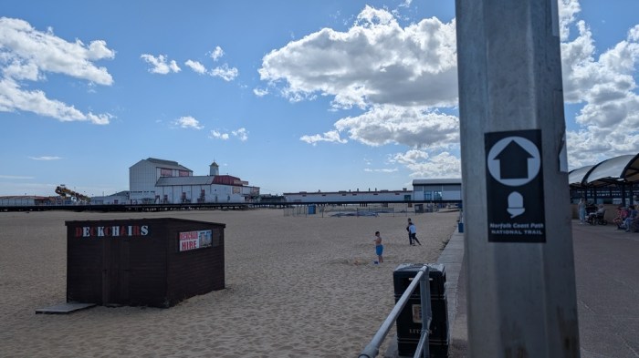
I arrived in Cromer late morning and headed straight into the adjacent Morrisons for a cold drink. Then down into town to find a chip shop for some lunch – which turned out to be harder than it sounds – most of them just weren’t open yet.
I found one in the end and sat on the prom while I pigged it.
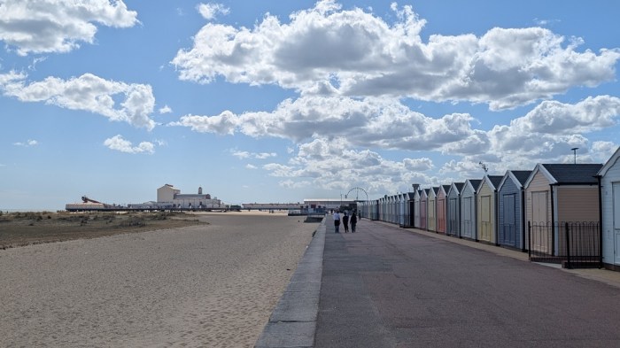
As I set off along the prom I wasn’t that sure whether I’d be walking on cliffs or on the beach. I reached the end of a run of beach huts, saw a sign for the coast path on the cliff above, and (stupidly) climbed up.
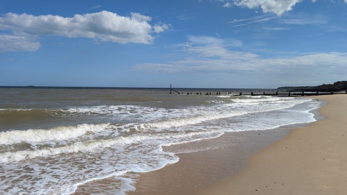
I didn’t get far along the cliffs before the path then dropped down to the beach. After this faffing about, I decided to simply stay with the beach if it was viable, no matter what the path officially did. It couldn’t be cheating if I was walking nearer the coast than the coast path!
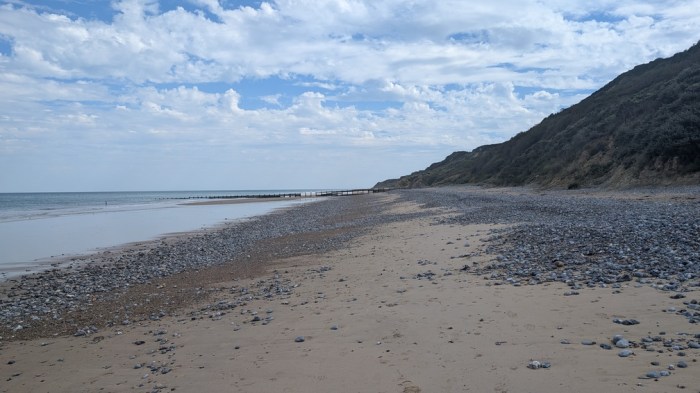
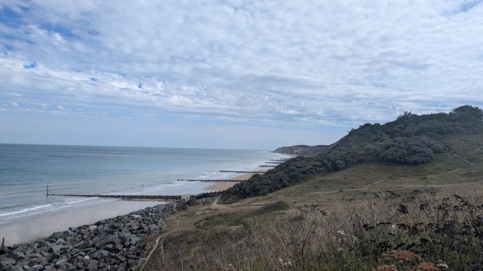
It was a fairly short stretch along the beach before I reached Overstrand, where I did actually take to the cliffs, some road and the edges of caravan parks which took me all the way to Mundesley. A very brief light shower hit me in Overstrand, then it went back to being nice again – a pattern that would repeat each day.
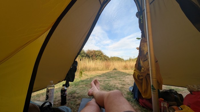
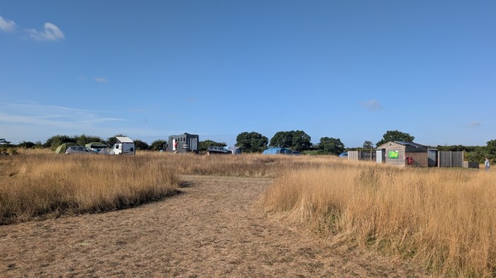
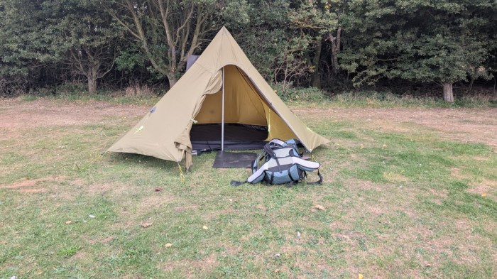
The campsite was about a mile inland. It consisted of dedicated mown pitches surrounded by longer grass. The facilities consisted of two toilets and two showers, all in individual outhouses, plus a washing up area. It wasn’t anything flash.
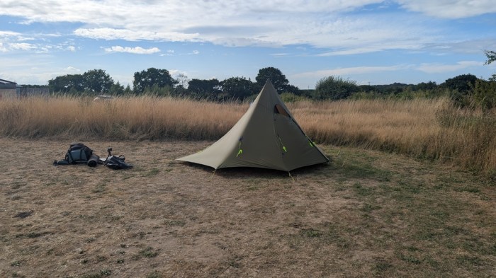
The pitch was a good size, but that’s some of the hardest ground I’ve ever had to try to force pegs into. I ended up begging for the loan of a mallet from my nearest neighbours.
The site was ok, but since they charge by the pitch, rather than per person, works out expensive for a solo backpacker. I could have had 6 people for the same price, which would have been a bargain.
Day 6: Mundesley to Hemsby
31km and 227m of ascent
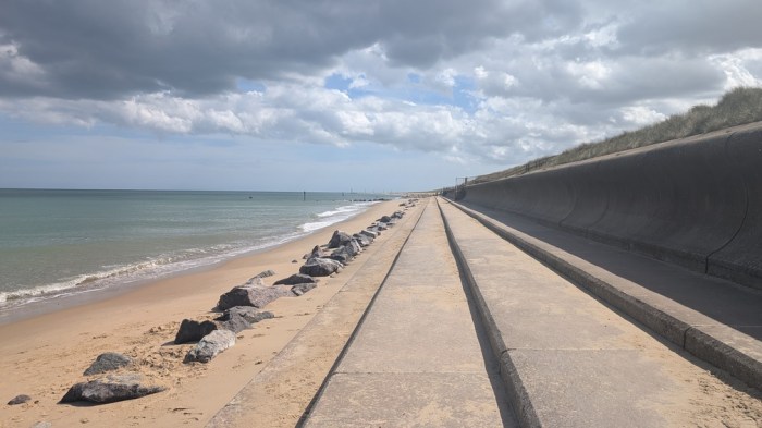
A lot of ground to cover today, but I didn’t want to set off too early, as most of it would be on the beach, and high tide was around 9am. A lower water level would reveal the firmer sand that would enable quicker progress.
I got to the beach at about the right time – some good firm sand to walk on. 8km passed quite easily until I stepped off the beach at Walcott to stop at the beach cafe for second breakfast.
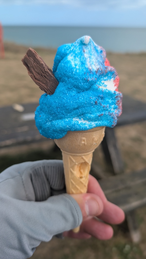
The next section took me along the beach and then the cliffs to Happisburgh where I had my first ever sherbert cone. It wasn’t as bad as it sounds or looks.
Back on the beach, sometimes with concrete sea defences to walk on, but mostly on varying degrees of firm sand. I stopped at Sea Palling, didn’t like (a) the number of people milling about or (b) the food offerings, and settled for a drink in the pub.
The next section took me behind the dunes as far as Waxham, before spitting me out onto open beach once more.
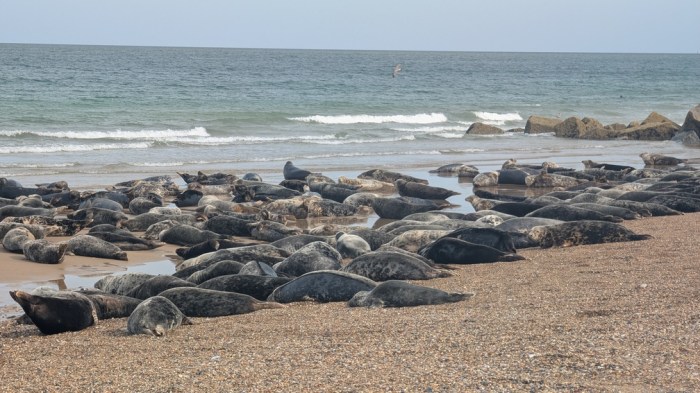
I approached a groyne and saw a load of people standing in a group, and it wasn’t until I was over on their side that I saw it was a seal emerging from the sea, that they were all filming.
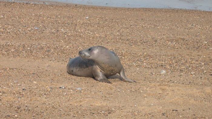
They were completely ignoring the vast quantity of seals on their other side. Several minutes were “lost” here.
The path intermittently disappeared into the dunes, but I ignored it and stuck to the main beach, at one point on my map appearing to be walking in the sea. I stuck with this all the way to Hemsby, where I arrived at my campsite 10 minutes before the food truck closed.
I dumped my stuff on my pitch and raced over to get some food – anything’s better than dehydrated. Then raced the cooling food in putting my tent up. Finally, tent up I wolfed my dinner down, went for a shower and made it back before the rain started.
Day 7: Hemsby to Hopton-on-Sea
23km and 159m ascent
Overnight I decided not to bother with the extra bit of walk to Lowestoft, and to simply end my walk where the trail itself ends – at Hopton-on-Sea – and to avail myself of a bus to Lowestoft for my train home.
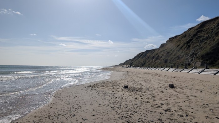
But first I had to get there. Back onto the beach for around 10km of not great beach walking – today’s beach sloped a lot more, and the tide wasn’t as far out. It was a relief to reach the first Yarmouth caravan park and move onto tarmac.
…or so I thought. What followed was another 6 miles of tarmac plodding through Great Yarmouth itself, which was swarming with people, and then through various industrial estates before the coast properly reasserted itself again at Gorleston.
I didn’t find anything I fancied for lunch so just pushed on, eventually stopping at a cafe on the prom just past Gorleston.
This was only 3km from the end, and I did it all on the beach.
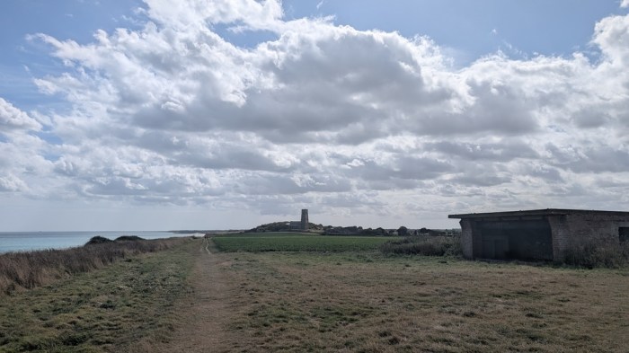
At one point I had to climb over the sea defences because I ran out of sand, and found myself walking on a narrow strip at times. Then as I approached Hopton, it seemed everyone from the nearby caravan parks was on the beach. Cue lots of weaving around them , clambering over rocks, and odd stares.
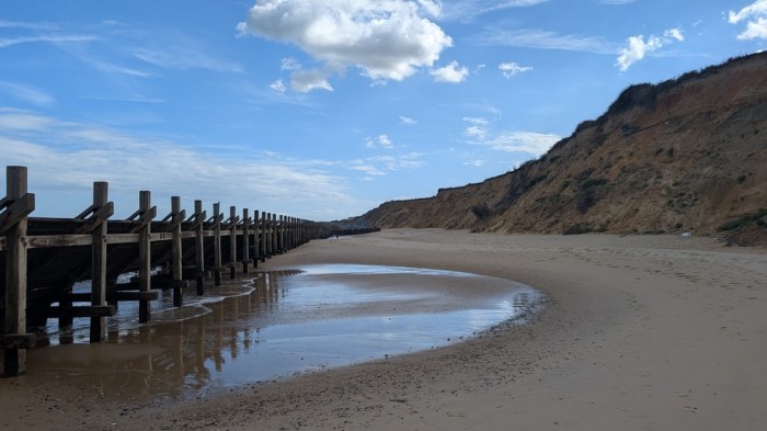
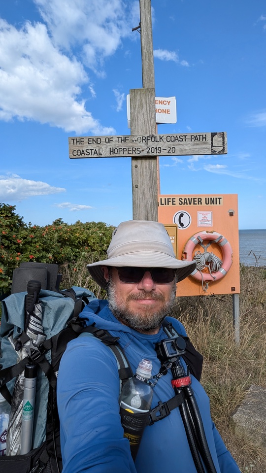
Finally, I reached League Hole, and stepped up the slipway to the sign marking the end of the Norfolk Coast Path.
I certainly didn’t feel the need to walk the extra distance into Lowestoft, and even if I had I’d used too much of the day to do it comfortably. No a bus into Lowestoft, some fish and chips and a long wait for the first of 3 trains home, would do nicely.
Thoughts on the Norfolk Coast Path
Before I actually set foot on the NCP, I had it down as another not very interesting, easy bit of walking that I needed to do to finish the whole of the Peddars Way/NCP National Trail. At that time I was very much still in the mode of completing the Greater Ridgeway, and just saw the NCP as an inconvenience that meant by doing the Peddars Way, I’d have to do this bit too. Part of my problem with it was that I expected it to be difficult to wild camp, and I expected the campsites to be busy.
But, I have to say I did actually enjoy the walk. I generally like coastal walks as long as the scenery changes often enough. Which it did. The variety is probably more at the western end – once you get past Cromer it’s all very beachy – at least if you do it like I did.
One thing coastal walks do have going for them is that they often yield easy places to get refreshment and find accommodation, and that was certainly true on the NCP. My main accommodation issue was campsites that opened late (at least one didn’t open for the summer until mid-late July), or which were effectively barred to me on the grounds of unreasonable cost or being C&C sites.
I nearly opted to do this last trip as a continuous walk, only taking a bivvy bag with me rather than the full works camping-wise. That could have worked but it would have been long days, albeit only a couple of them.
I didn’t expect much from the NCP, but that meant that it easily surpassed my expectations. A friend of mine goes to the Norfolk coast every year, and I can see now why she likes it so much.