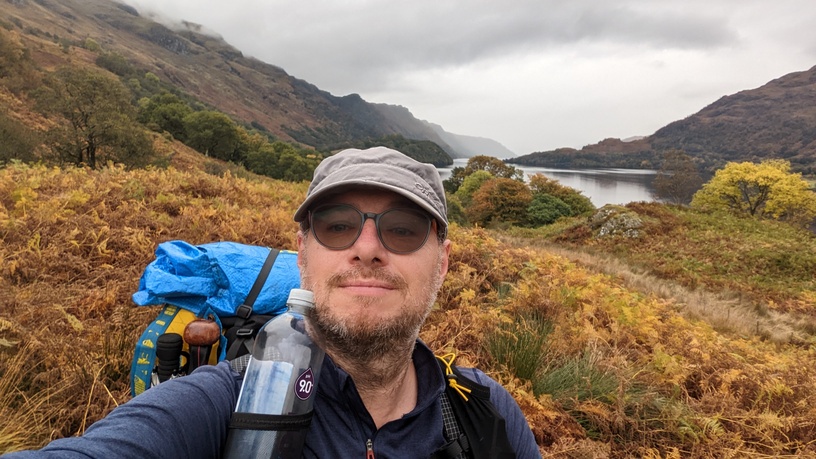
Well, this post may be titled “Introduction”, but this trail barely needs one. One of the more popular trails, maybe even the most popular of the Great Trails in Scotland, I felt as though I already knew it quite well before I even set foot on it. Which is, of course, nonsense, but it’s fair to say that I set off on this one already understanding a lot of the route and the logistics and decisions to be made.
The Way is officially 96 miles (154km) long, increased from 95 miles in recent years due to the finish being moved from the east end of town to a more central position outside the Travelodge at the other end of the High Street. On a usual northbound (NOBO) itinerary, the amount of ascent starts small and increases the further you go north, which when taken with the prevailing weather direction, makes northbound an overwhelming choice. Despite this we encountered a few southbounders (SOBO). I know how tough a SOBO walk could be, having done a day of the WHW heading south into a headwind on this year’s TGO Challenge.
The best time to walk the WHW is generally considered to be May through to September, although it’s perfectly possible to do it year round. My personal choice would, everything else being equal, be May as this has decent weather and is before the midges really get their act together. Failing that I’d go for autumn after the midges have finished.
And so with other trails done in priority to this one this year, it left me autumn to do it. This wasn’t a hardship – Paul and I walked the Great Glen Way in October last year, and it was glorious. We had high hopes of a similar outcome this time around too.
The WHW typically takes people 5-8 days to do, depending on fitness and the chosen logistics. As baggage transfer is quite common along the Way, some people do walk much longer days with just a daypack, and reduce the total number of days accordingly. We saw several people clearly adopting this approach. Backpacking, and specifically camping, pushes the number of days up a bit. In our case, we planned it as a 9 day walk – a combination of achieving a low enough daily average, using the time productively etc. The intention was to camp as much as possible, but to aim to break it up somewhere in the middle for a bit of respite if conditions were grim, or just to make a change anyway.
Getting to the trail was perhaps the hardest thing to decide. Paul favours flying, usually combined with a hotel, to get to Scotland – he is very much of the “minimum faff and time spent travelling” school of thought. Whereas I am more of the “cost vs benefit” mindset, and generally try to minimise the travel cost as much as possible: basically I go for the fastest or best fit travel that I’m prepared to pay for. So in this case I got the overnight coach to Glasgow from London, which set me back £16.90. This isn’t to everyone’s taste, as it can stuff up walking the next day, but I can endure a lot for cheap travel.
The plan was to meet up with Paul in Glasgow, at Queen Street Station, around 9am. He’d swan in from his nice hotel sleep and nice hotel breakfast, while I prowled the streets of Glasgow in a zombie-like state for a couple of hours between the coach arriving and the outdoor shops opening to sell me gas.

The Walk Plan
Our 9 day schedule allowed for days of approx 11 miles (17km), but also allowed the flexibility to take a day out to climb Ben Lomond along the way, with a small increase in daily distances to compensate. At no point did we seriously consider climbing Ben Nevis at the end – I had a deadline to be back home, and Paul wasn’t inclined to. We’ve both done it before anyway.

So our original plan, and what actually happened was:
| Day | Planned Walk | Actual Walk | Actual Dist / Ascent / Time | Accommodation | Note |
| 0 | Travel to Glasgow | Travel to Glasgow | Hotel (Paul) Coach seat (me) | ||
| 1 | Travel Glasgow to Milngavie. Then walk Milngavie to Drymen | Travel Glasgow to Milngavie. Milngavie to Drymen Camping | 19.2km / 220m / 6.5hrs | Campsite | |
| 2 | Drymen to Balmaha (ish) if not doing BL or Drymen to Rowardenan if doing BL | Drymen Camping to Milarrochy Campsite | 15.7km / 290m / 5.5hrs | Campsite | |
| 3 | Climb Ben Lomond, or Balamaha to Inversnaid | Milarrochy to Not Quite Inversnaid (without climbing BL) | 22.1km / 510m / 7.5hrs | Wild Camp (me) | Solo from Rowardenan |
| 4 | Rowardenan to Doune bothy (if climbed BL) or Inversnaid to Crianlarich (if didn’t climb BL) | Not Quite Inversnaid to Glen Falloch | 18.7km / 490m / 7hrs | Wild Camp (me) | Solo |
| 5 | Doune/Crianlarich to Tyndrum | Glen Falloch to Tyndrum | 16.4km / 470m / 4.25hrs | Hotel | Solo until Kirkton Farm |
| 6 | Tyndrum to Bridge of Orchy/Inveroran | Tyndrum to Inveroran | 16.5km / 340m / 5.25hrs | Wild Camp | |
| 7 | Bridge of Orchy/Inveroran to Kingshouse | Inveroran to Kingshouse | 15.9km / 330m / 4.5hrs | Wild Camp | |
| 8 | Kingshouse to Kinlochleven | Kingshouse to Kinlochleven | 15.2km / 520m / 4.5hrs | Hostel | |
| 9 | Kinlochleven to Fort William Travel home (sleeper train) | Kinlochleven to Fort William Travel home (sleeper train) | 26.4km / 720m / 6.75hrs | Train seat (both) | Solo |
Doing the trail outside of April – September meant that the seasonal camping restrictions along Loch Lomond didn’t apply, which was handy with the recent closure of Beinglas campsite. The spot I used in Glen Falloch was in the Camping Management Zone, so this would have been a right pain in season, as I was done in when I got there and needed to stop.
The spot I pitched at the previous night along Loch Lomond, appears not to be in a Camping Management Zone, but there’s not a lot of viable spots and it’s probably far enough from a road to deter fly campers anyway.
The “wild camp” at Inveroran is at a generally recognised informal site by the bridge. There’s no signage as such – it’s just where people are expected to camp.

The “wild camp” at Kingshouse is on the flattish patches behind the hotel.
Gear
My gear strategy for this trip was essentially to replicate my gear for this year’s TGO Challenge, swapping out certain items (tent and clothes mainly) for more seasonally-suited items. The plan was to camp most of the time, and with rain being the main forecast weather hazard, and with quite long nights (dark from 6:30pm to 7:30am), kit was chosen for being comfortable in those conditions.
- Tent: After much umming and ahing, I decided to take the Tipik-tentes Aston, as a good combination of comfort, weight, pack size and robustness for the expected weather conditions.
- Sleeping: I took my usual 3-season sleeping bag – a Cumulus Quantum 350, opened out like a quilt. Paired with a Thermarest Neoair Xtherm, this was plenty warm enough, and I didn’t need the extra liner I’d packed in case.
- Day clothing: I wore a Montane Dart top, decathlon running leggings and a pair of shorts over the top (largely for the pockets!), which is the exact same clothing system as used on the TGOC this year. My midlayer was a Mountain Equipment Switch Jacket, which took the place of the equivalent gilet version I bought on the TGOC in May. There was no need to bother with sun hats etc – I used my usual cap, and put in a pair of very thin gloves.
- Footwear: I decided to try my Altra Timp 4 on this trail, and despite being a little unsure how they would fare in damper conditions than I’ve been using them in, they were an absolute triumph. Although they got wet through very easily, I found they were supremely comfortable when wet, and dried very quickly anyway. They looked a right state by the end of the trail, but the way they coped did mean I called my long time love affair with Salomon Xultras to an end.
- Pack: with the amount of kit I was taking, it was always going to be the Atompacks Mo 60.
- Cook system: After a recent rethink, I bought another Trangia Triangle, having stupidly got rid of my original one, and bought a (knock-off) Trangia burner too. This was an absolute revelation as a light, compact, stable stove set up. Due to worries about getting gas, I did also put an alcohol burner and a small amount of alcohol in as insurance policy. I used both, and when Paul’s gas ran low, it meant we could both continue cooking. For pot, I mainly used a Trangia series 25 kettle to boil water. Initially I also had a Trangia series 25 outer pot which is wide enough to fry in, or cook a more elaborate meal, but sent it home as I wasn’t using it enough. Finally, I used the Vargo Bot 700 as my mug, overnight soaking container, and a handy means of carrying water for morning coffee.

I haven’t gone into every item of kit – much of the rest was the exact same usual stuff I usually take.
Guidebook
Although not essential by any means, I used the Trailblazer guide. These are my preferred guide book for any trail, so I always buy this one if they do it. Rather than print loads of sheets of maps (particularly as my printer is sick), I bought the map booklet from the Cicerone guide, which was really good. I still had Memory Map on my phone if I ever needed to look across a wider area. And phone signal was decent for a lot of the trail as well.
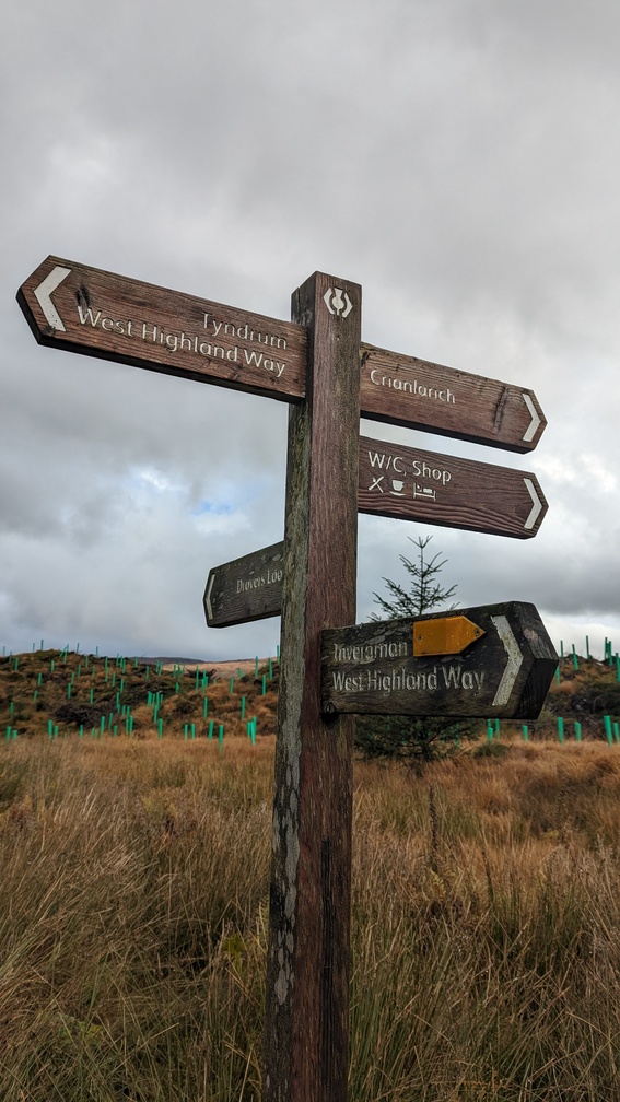
Waymarking of the trail is generally excellent, and in those remoter stretches where there isn’t much, the path is obvious anyway. I found the guidebook was relegated to something to read in the evenings in preparation for the next day.
Next time – starting the trail…