Introduction
The Norfolk Coast Path (NCP) is part of the Peddars Way and Norfolk Coast Path National Trail, as well as being part of the England Coast Path (ECP) (or King Charles III England Coast Path to be technically but also pointlessly accurate). It’s signed as the Norfolk Coast Path from where I started in King’s Lynn, and with an acorn, but the acorn is for the England Coast Path. The bit of the NCP that’s included in its own National Trail (together with the Peddars Way) starts in Hunstanton and finishes in Hopton-on-Sea between Great Yarmouth and Lowestoft, but it used to finish in Cromer.
Now that you’re suitably confused, let me simplify matters. I wanted to finish the PW/NCP National Trail, having done the Peddars Way bit as the finale of my Greater Ridgeway Walk of 2023-24, and as long as I at least covered the coast between Hunstanton and Hopton, I’d manage this. But I decided to start in King’s Lynn for logistical purposes (ie there’s a station there), and rather than backtrack to Great Yarmouth at the end, I’d walk on a further 5 miles or so to Lowestoft to get a train home from there. So I’d polish off the PW/NCP as well as bit of extra ECP.
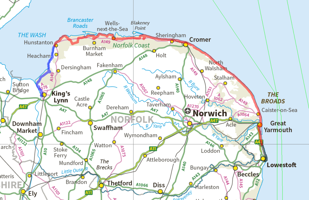
In the map above, the NCP that is part of the PW/NCP is red, and the blue and the black are my extensions for logistical purposes at each end.
On the walk, because it was so hot and my legs just didn’t have the big days I’d planned in them, I decided to split the walk into two at Cromer, and return to do the Cromer to Hopton stretch later. This post covers the first part of the walk to Cromer, which I did over 4 days in early July 2025.
Day 1: King’s Lynn to nr Snettisham
22.6km with 50m of ascent
I arrived in King’s Lynn around 11am and emerged from the station to steady rain. I’d debated whether bringing rain gear for one afternoon’s worth of rain was really worth it, but as we will see, it was.
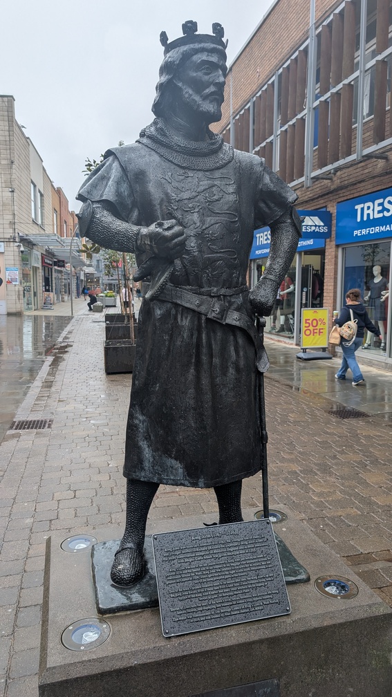
I made my way to the riverfront, passing this statue of King John (Lackland) on the way. “Lackland” because he was the youngest son and therefore not expected to inherit any, but it proved apt as he he turned out to be good at losing territory, namely the Duchy of Normandy. He was good at losing other stuff too – notably the crown jewels in the Wash. A man with a penchant for wives named Isabella, for pissing off the people who would keep him on the throne, and who also managed to get himself excommunicated for good measure, the man was an absolute disaster. He’s routinely ranked as the worst King of England ever. I can think of several more successful people associated with King’s Lynn more deserving of a statue.
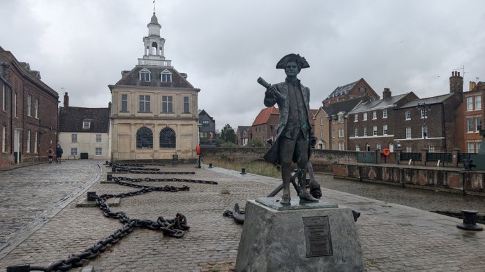
I reached the Customs house and the waterside, had a look around, then turned back to get on with the walk. This consisted mainly of skirting industrial estates and the port until I ran out of built-up-ness.
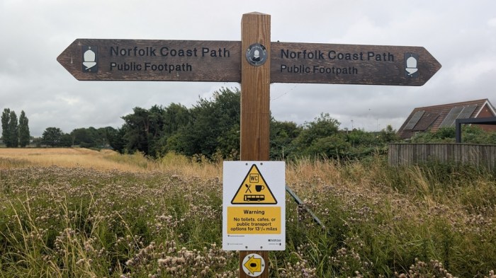
I went wrong immediately at this sign and ended up having to backtrack a few hundred metres. Stepping off into the field, I stepped straight into some squelch bad enough to soak my feet thoroughly.
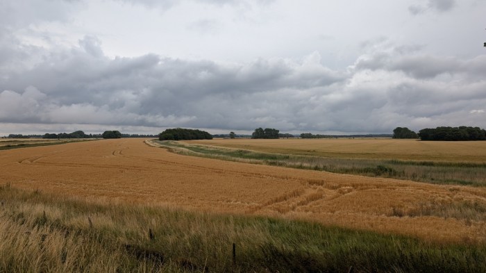
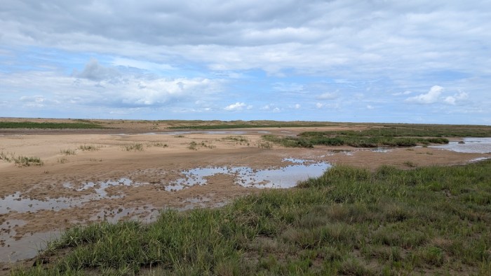
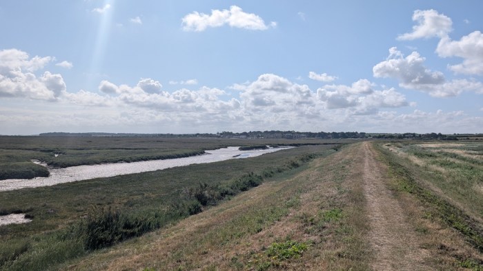
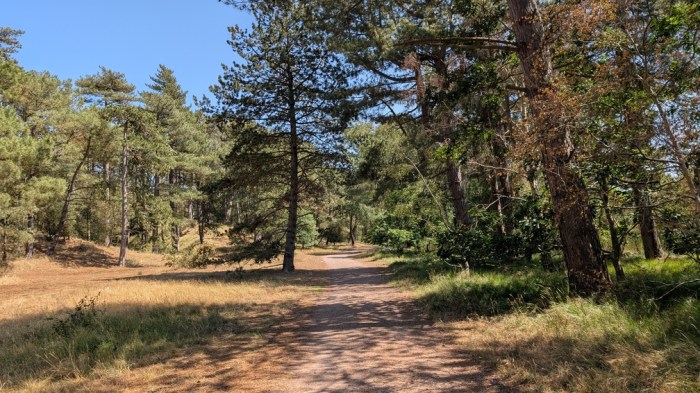
A load of field edges were my lot for the next hour or so, and I was relieved to arrive at the start of the floodbanks.
But not for long. The sign pointed to the undergrowth at the foot of the bank, and frankly that wasn’t going to happen. I stuck to the top of the bank for as long as I could, before thwarted by gates and deteriorating conditions on the top of the bank itself.
Resignedly, I dropped down and set about thwacking my way through all the long grass obscuring what wasn’t much of a path to start with. At one point I met a couple of chaps going the other way who informed me it was more of the same. Joy.
Then it all ended suddenly at the far end of RSPB Snettisham. Now the paths were easy, but my right foot was hurting due to my new trail shoes rubbing the top of my big toe, and scraping away a patch of skin. To add an extra element, it also started raining.
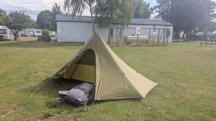
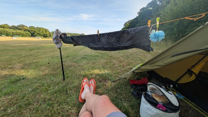
I walked into the campsite ready to stop, being allocated a pitch near the children’s play area, but also close to the facilities. I pitched up and headed to the bar – yes it had a bar!
Day 2: Nr Snettisham to Burnham Deepdale
30.8km with 338m of ascent (apparently, as it didn’t feel like that much).
I arrived back at the beach, turned north and immediately felt the strong headwind, which stayed with me almost all the way into Hunstanton. A band of rain lashed at me, then the wind dropped, then a final drenching and it was all over.
I stopped at the first cafe I came across, which happened to be the Hunstanton Ski Club, although they must find the lack of snow a huge problem 😉
Back out on the promenade, it was thronged with multiple school parties, many of which seemed to be carrying surveying poles in a vague attempt to make it seem like an actual geography field trip, rather than an end of term jolly.
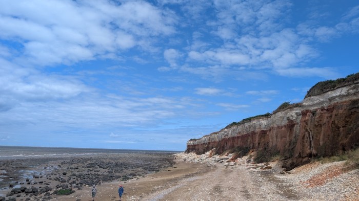
I reached the end of the promenade and took a look at the stripey cliffs. I’d had a good look when walking into Hunstanton at the end of the Peddars Way, so didn’t feel the need to walk back that way. The tide didn’t seem to be in my favour either, so I stuck with the official route.
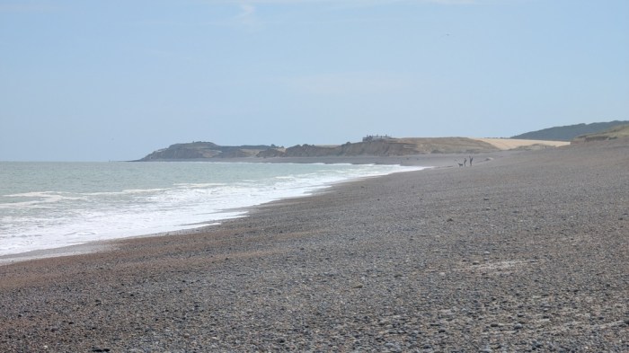
That changed when the path dropped down to the beach on leaving Old Hunstanton. I remember the slog on the loose sand behind the dunes, and this time opted instead for the beach proper, and the line of firm sand in particular. I made much better progress as a result.
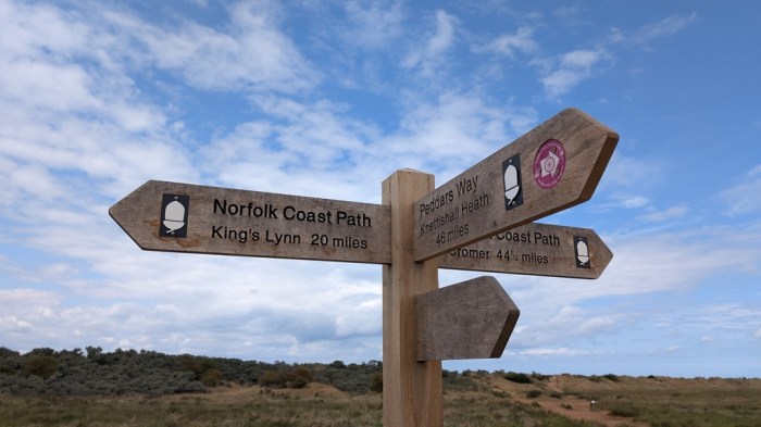
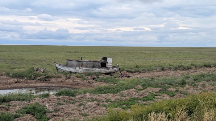
But then came the time to leave the beach and head for the 3-way sign marking the end of the Peddars Way. I took a picture or two here and then headed out into the dunes, on a “proper” path. Soon after the site of Seahenge, I stopped for lunch break.
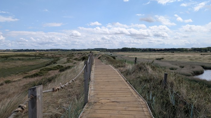
The path was now surfaced with boards as it turned increasingly inland towards Thornham.
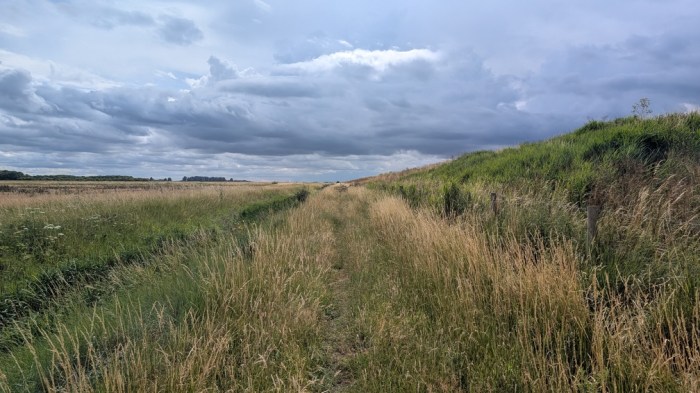
And in Thornham, the trail cuts directly south away from the coast, for no apparent positive reason (ie it’s almost certainly access-driven). And it was uphill in the hottest part of the day.
Eventually it turned east and then coastwards again, leading me down to Brancaster, where I walked a section on boards again.

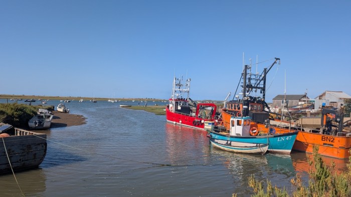
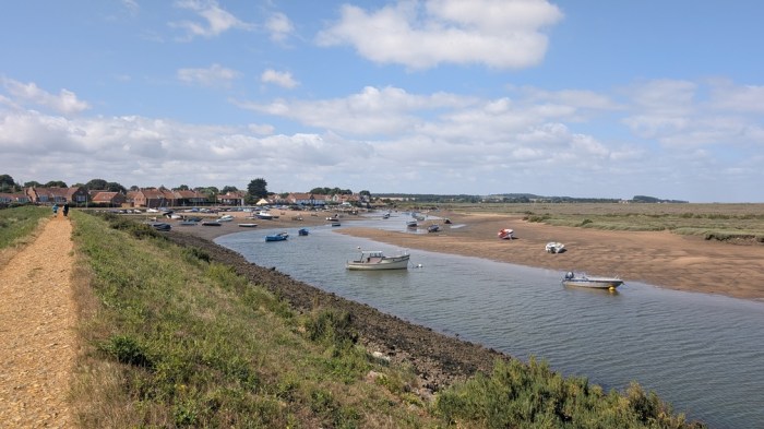
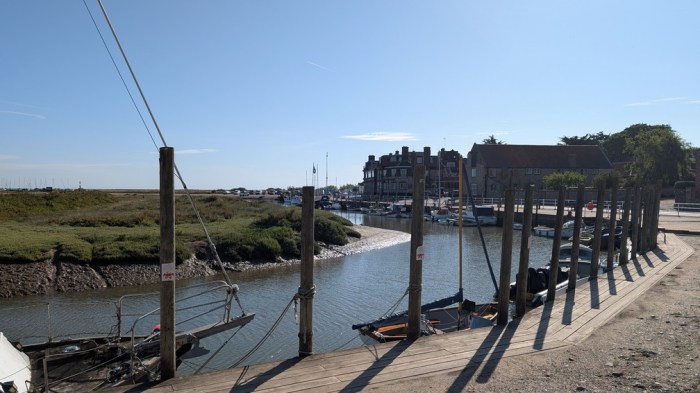
At Brancaster Staithe, I missed the sign and ended up at a dead end where the land ran out. I backtracked to where the path actually was and smashed out the last bit to Burnham Deepdale. Well, I say smashed out, but in truth my legs were feeling very weak, and I was just glad to get it done.
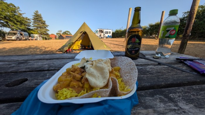
I was shown to my pitch, which somewhat disappointingly was on a slope in a small field of all campervans. The ground was a bit hard for the pegs to penetrate too. On the plus side, the little food van at the site was on curry night, so after popping to the garage next door for some liquid supplies, I was set for the night.
Day 3: Burnham Deepdale to Morston
27.9km with 124m of ascent
The first order of business today was breakfast in the cafe next to the campsite. A sausage and bacon bap costing me £8, not very generously filled, and a bit underwhelming. I pigged it down and got on with the walk.
My legs felt better today, at least initially, and I embarked upon the walk feeling more positive than I had been the day before. It helped that I didn’t have head-on wind and rain to contend with, I suppose. I even dared to believe that as today was shorter and with less ascent, I might even be at my planned finish point early enough to eat a bit of tomorrow’s distance (using the coastal bus to get me back to my campsite), thereby significantly easing what otherwise would be by far the hardest day of the trip the next day.
This positivity didn’t last long as I found myself eating more and more of this time in hand, because of how much I stopped. In my conscious thoughts I had time to go further, but my subconscious clearly read this as take it easy instead.
I got to Burnham Overy Staithe and took the first of these breaks on the first bench I came across, annoyingly finding several more and somewhere to get coffee just as I got going again about 100 yards further on. I wasn’t going to stop again though, so just headed onwards.
The path then brough me out to Holkham beach and rather than stick to the line of the path by the dunes, I opted once again for the firmer sand nearer the tide line.
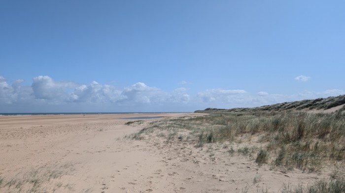
This was too good to rush though, and I just took it all in. I drifted off the beach at the obvious point where people were clearly joining or leaving the beach – Holkham Gap. Here I ducked into the visitor centre for coffee and cake, and this was the one stop today that dealt a decisive blow to my hopes of exceeding my target. I was so long, mainly because I took the opportunity to do my favourite daily puzzle – Squaredle.
Back on the trail, the path was now following a strip of woodland, and I’d only gone 1km when I saw a bench and stopped for lunch.
Once I got underway again, I actually quite enjoyed the easy path through the woods, if for only the reason of shade, as well as a bit of variety. All too soon it was over though, and the path turned south for Wells-next-the-Sea.
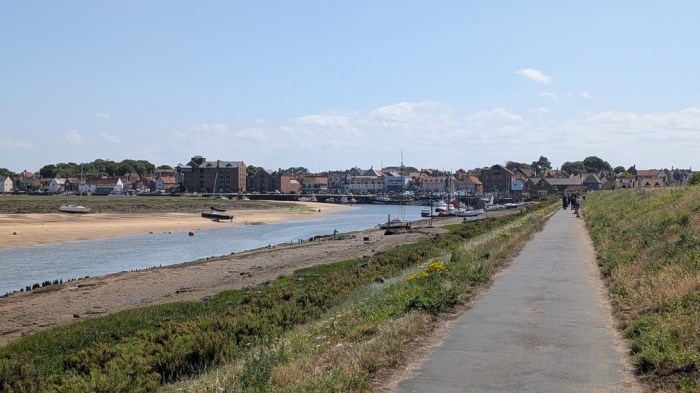
In Wells, I bought the largest ice cream cone I think I’ve ever had, and stopped again to consume it – not a quick process.
I now had about 9km to do and no hope of being able to push further past my campsite. I thought the 9km would be ok but it was just a trudge and I staggered into my campsite ready to drop.
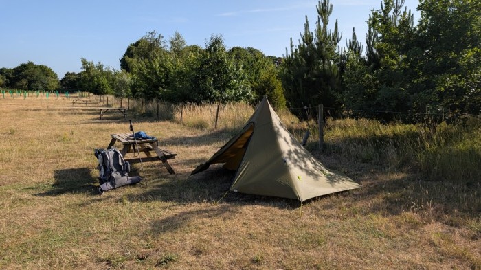
Unfortunately, I was informed that the village pub was closed. It was a nice quiet site though, and although basic was good value at £8.
I sat down and had a good look at the map and my routecard. The plan had been to do 35km and 400m of ascent the next day, followed by a 32km day and a 28km day. It was clear my legs couldn’t actually take that, so it was time to have a rethink. This came down to a few options: (a) force myself to try to stick to the plan, (b) simply trim the distances and take longer, (c) adopt a strategy of using the coastal buses to walk the harder days with minimal stuff, and stay in the same place for a couple of nights, and (d) break the trail in two and come back to finish it off later. This last is what I decided to do. This would mean I’d finish at Cromer the next day and only had about 28km instead of 35km to do.
Day 4: Morston to Cromer
28.2km with 175m of ascent
Last night, I booked a campsite at Cromer, as even with a shortened day I didn’t think I’d finish early enough for it to be practical to get home the same day. It’s supposed to be a holiday after all, so a night in Cromer and a leisurely journey home the next day. My replan suggested I still had 300m+ of the 400m ascent still to do though, so I was very cautious with my arrival time given to the campsite.
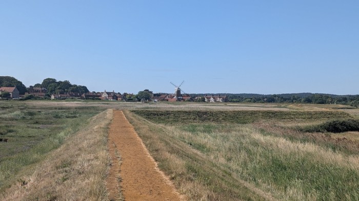
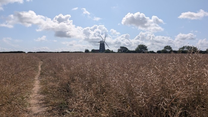
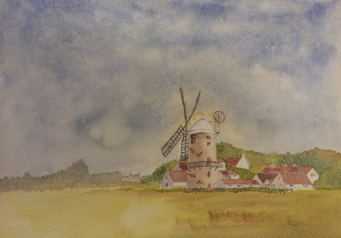
With all that work to do, I set off a fraction earlier, and enjoyed a pleasant walk around to first Blakeney and then Cley-next-the-Sea. The windmill here was the subject of a painting exercise in one of my very early art classes, so it was good to finally see the real thing.
In Cley, it was still fairly early and there was nowhere coffee-able open, so I forged onwards to the beach, taking a break in the shelter there.
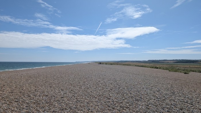
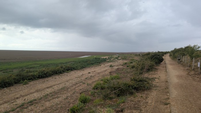
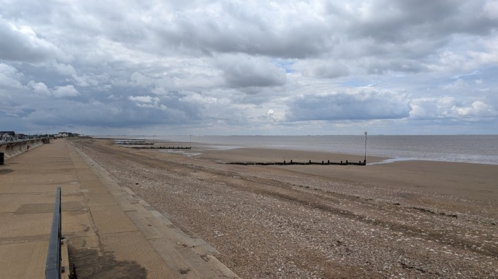
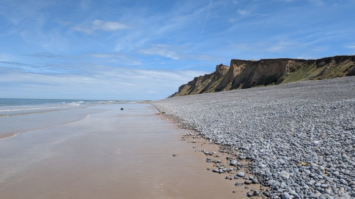
Ahead of me lay about 6km of shingle bank, which would be difficult walking, but for the fact that the tide was just out far enough to reveal a line at the bottom of the bank which was just sand covered in a single layer of stones, so being much firmer to walk on. I stuck to this all the way to Weybourne.
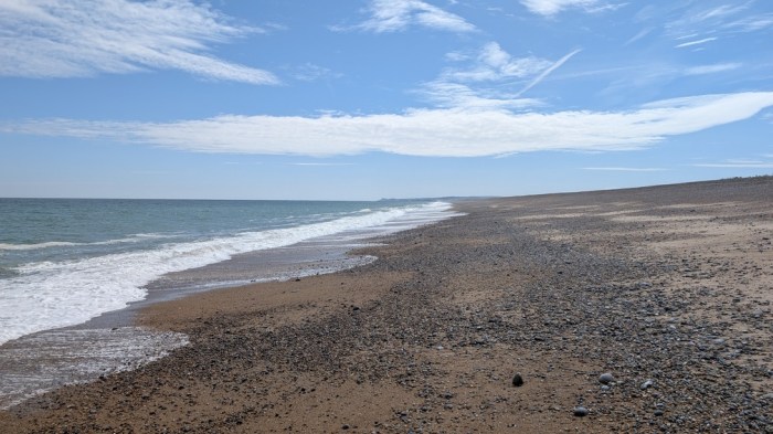
At Weybourne I took another break on a bench and then followed the path up onto the low cliffs for a change from the shingle.
But soon as I reached the golf club, I could see the edge of Sheringham with a big hill to climb first, and spotting a break in the cliffs, dropped back down to the beach to walk it in on the sand.
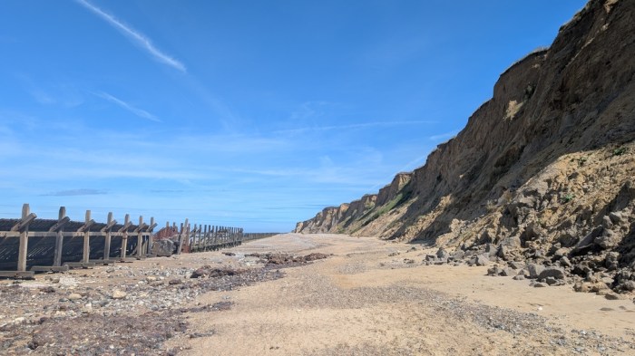
Sheringham was teeming with people, and it took me a while to find a fish and chip shop. But I did find some, and a shady bench to eat it on, before heading along the promenade until it ran out, dropping me onto the scrappy bit of beach between the cliffs and some old wooden sea defences.
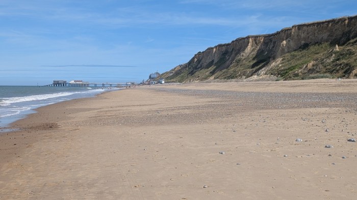
Finding a gap, I moved further down the beach and found the firm sand line. On reaching West Runton, I stayed with it rather than take the actual path on the cliffs, and moreover at East Runton I could see Cromer pier ahead of me, so beached it the rest of the way, rather than follow the official trail through caravan parks.
It was then a short walk to Morrisons for cold drinks, the station to pick up my tickets for the next day, and then a “shorter than it looked on the map” walk up the valley to the campsite opposite Cromer Hall.
Cromer Camping is a seasonal site (opening late June) and is pretty basic – toilets and showers in portacabins, a drinking water tap, a skip for rubbish and a small portacabin for washing up in. This wasn’t much more than the previous night’s £8 site, just on a bigger scale and for £20. The few flat pitches were already taken, and so I made the best of what I could on the lonely road side of the field, where I had shade now and would catch the morning sun tomorrow.
What Comes Next
I have just under 70km still to do to Lowestoft, so about 62km of actual Norfolk Coast Path. Overnight stops get trickier from here on, and whilst there are places to stay, I baulk at paying £32 for a campsite for one person – I really hate when campsites price based on two people plus a car and don’t make any adjustment for solo walkers on foot. There are also two key possible sites that don’t open until late July, and they are both more reasonably priced and in the right places, so I’m going to have to wait a few weeks to time my return to finish the path off. That will probably be a 3 day trip.
So far I’ve enjoyed the Norfolk Coast Path a lot more than I thought I would. I had it down as a pleasant trail rather than a stunning trail, but am pleased to be proven wrong on that. The variety of coast landscape along just the bit I’ve done so far is quite something. What I’d seen as a bit of a chore to tick off the rest of the National Trail has now become something I’m keen to actually do – not just to get it done, but for itself.
A salutary tale. I enjoyed reading the post far more than you did the walk it seems! By walking and then writing this up you certainly have “taken one for the team” and steered us to put other options above the NCP on our bucket list.
LikeLike
The walk itself was actually much better than I expected – I just wasn’t really in the right condition or frame of mind to make the most of it. I think that first day was probably a mistake – I didn’t need to do the extra, and if I’d just started a day later from Hunstanton would probably have been in a more positive frame of mind. I am still looking forward to getting back out to finish it off.
LikeLiked by 1 person