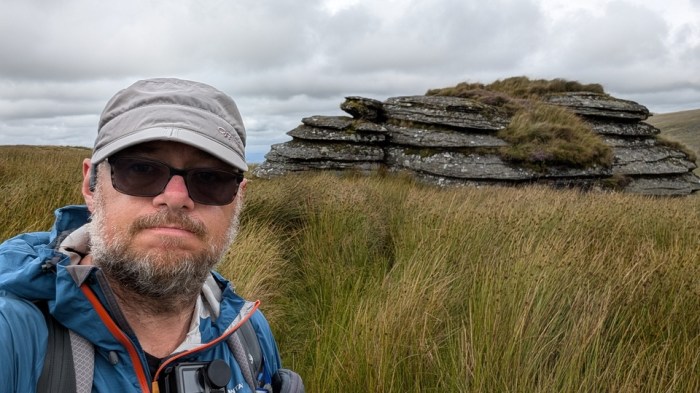
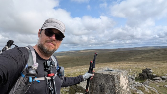
For some time now, ever since I heard of the Dartmoor Ancient Boundary Walk, or Perambulation, I’ve had it on my list of must dos, but it’s taken a while to find the right window to go for it, and balance the desire to do it with my long list of other things I want to do. But finally the time came…
The Background
The Boundary Walk was created in (as far as I can tell) 1982, but its origins go way back. Dartmoor, and indeed the whole of Devon, used to be a royal forest or in other words land set aside for the king’s pleasure. The word “forest” here referring not to an area of extensive woodland, as it tends to mean today, but instead derived from the latin “foris” meaning outside – as in outside the normal law of the land generally. Thus the royal forest was an area where usual rules did not apply, and royal forests tended to be subject to some pretty harsh rules, many of which seemed to involve grisly punishments.
In 1204, King John, a man whose one outstanding talent was losing land, disafforested all of Devon (ie removed its designation as a royal forest, making it “normal”, not chopped down all the trees!) except for Dartmoor and Exmoor. In 1239, his son, Henry III, granted the Dartmoor Forest to his brother, Richard, Earl of Cornwall. In the following year, 1240, Richard felt the need to confirm the boundaries of his new holding due to various disputes with its neighbours, and sent 12 knights off to survey the boundaries. It is this journey, or rather our best modern interpretation of it, that I was seeking to retrace.
Later on when Richard ran out of descendants, the title and land reverted back to the Crown, before being granted to Edward, the Black Prince in 1337, at the same time as he was created the first Duke of Cornwall. The Forest remains part of the Duchy of Cornwall to this day.
Look at an Ordnance Survey map of Dartmoor (the 1:50k or 1:25k) and you will still see this central part of Dartmoor labelled as “Dartmoor Forest”. If you’ve ever been puzzled as to why, given the relatively few areas of trees on Dartmoor, you now know.
The Planning
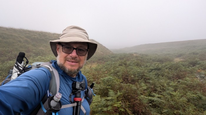
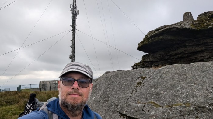
The modern version of the walk “officially” starts at Rundlestone, just north of Princetown. I don’t know why, when the knights originally rode out of Okehampton. Either way, that wasn’t a particularly convenient point for me to start, and since you’re allowed to start/finish where you like and take as long as you want, I went for logistic simplicity. A train to Okehampton, stay at a mate’s overnight, then walk up onto the moor. I could have walked up to Belstone, but chose Okehampton to give me the option to get straight on a train home at the end if I needed to.
I planned for 4 days, the last one being potentially shorter to allow for getting home. I’d backpack the route, camping each night. With few places to restock or even get refreshments, I’d be carrying everything I needed for the whole journey, except for picking up water along the way.
The weather looked good, maybe even a little too hot at times, but that wasn’t actually what I got all the time.
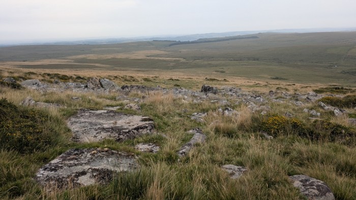
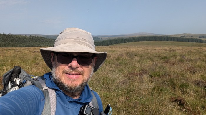
Day 1: Okehampton to Middle Tor (23km, 920m ascent)
A nice gentle start walking down to Fatherford Viaduct and along the path to Okehampton station, where I called into the Bulleid Buffet for breakfast. Then I was on my way, taking the Tarka Trail and road up to Okehampton Camp – the easiest way onto the moor – and then continuing along the tracks to Rowtor Car Park.
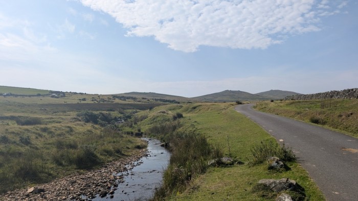
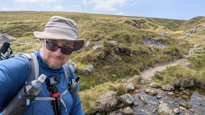
I followed the tracks around towards East Okement Farm, branching off left to drop down to Cullever Steps, the first of the “checkpoints” on the route.

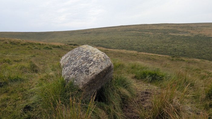
A decision to make now: I could follow the route as marked on maps or follow the boundary stones marked on the OS map, passing over the Belstone ridge between Winter Tor and Higher Tor, which is what I decided to do. Then dropped down to the ford and slogged my way straight up the side of Cosdon. After this stiff climb, I took a short break, which turned into First Lunch, while I watched the weather. Over Yes Tor it was black and also to the south, and I expected I’d get rained upon soon.
Indeed, I was about halfway to the next checkpoint at Hound Tor, when the rain caught up with me and on went the rain gear. As I always do when passing this way, I of course stepped the short way off route to visit the stone circle on White Moor.

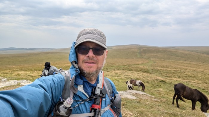
On Hound Tor I saw the first of scores of Dartmoor ponies. What with these and all the cattle, I don’t think I’ve ever done a walk on Dartmoor where I’ve seen so many.
Now came a little treat to myself: rather than cut the corner, I popped up to Wild Tor, got out of the wind and promptly received a work call which took long enough to deal with that I declared Second Lunch stop.
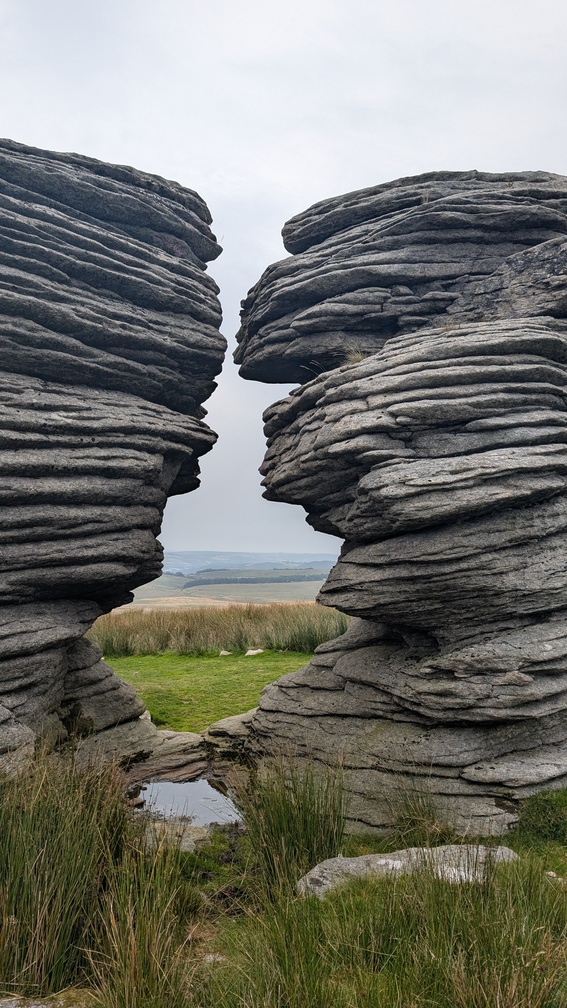
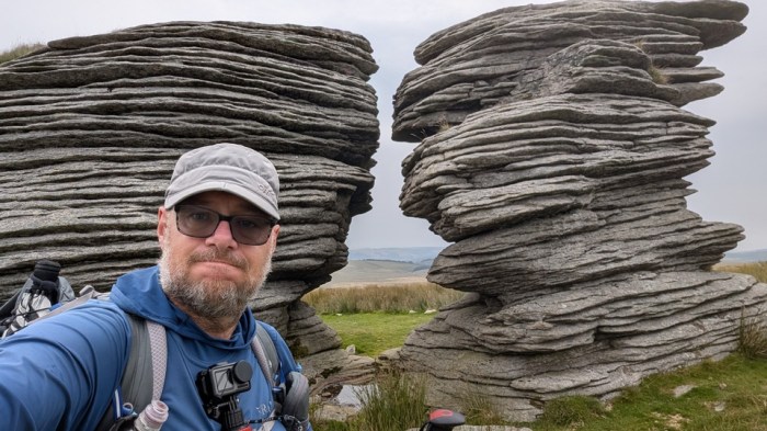
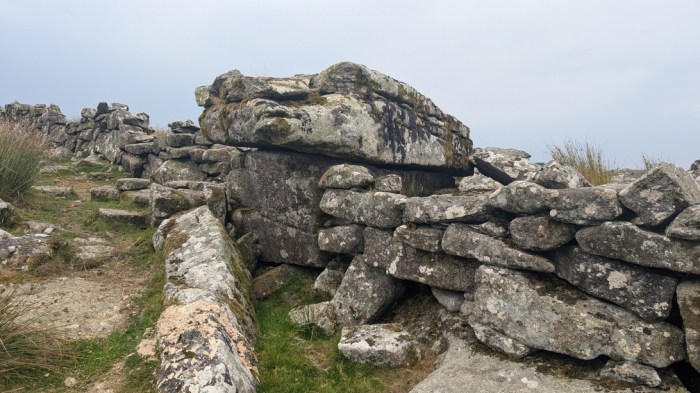
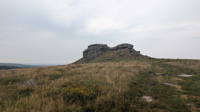
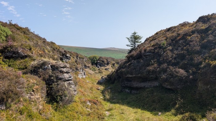
Down and up to Watern Tor, and in particular the Thirlstone.
Usually when I’m at Watern Tor I’m on my way to or back from Whitehorse Hill on my favourite North-South route, but the Perambulation now veered off to the east. It went close enough to the previously unbagged-by-me Hawthorn Clitters, so I detoured slightly to visit.
The next target was Manga Rock, which I’d also never been to (and frankly probably won’t make a special effort to revisit), and so I took as direct line down towards Hugh Lake as I could to pick this off on the way. Unfortunately, this involved negotiating a lot of gorse, and I was wearing shorts. There may have been some swearing. A short steep climb up to Manga Rock and it was done.
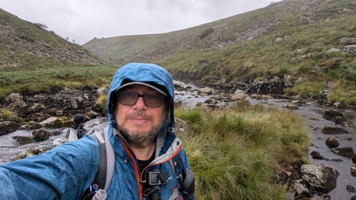
Now I took as direct a line as the vegetation allowed down to the meeting of Hugh Lake and the North Teign.
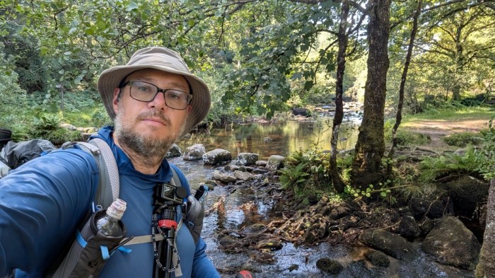
I then pulled myself across the North Teign on the fence, dropped my pack and then went back for water – this was the last reliable source before my planned camp spot.
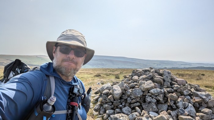
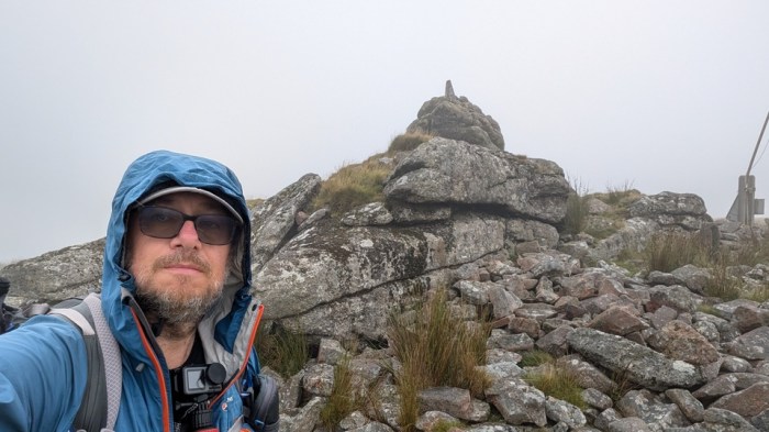
It was a bit of a slog on now tired legs up to Stonetor, another new bag, but I was nearing the end now. A bit of an indirect route to Long Stone, due to wanting to walk on as easy ground as possible.
This was the last boundary “checkpoint” of the day, so I broke off here to head for a camp spot, going via Kestor Rock as it was so close.
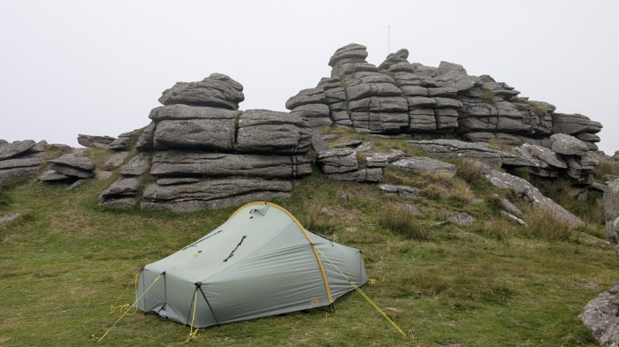
I don’t remember Middle Tor as being so scoured of grass around it, but that’s what I found. And most of where grass had been was now a carpet of dung. Off into the rougher grass to find as clean and level a spot as possible, whilst trying to stay just in the camping zone.
Day 2: Middle Tor to Hexworthy (20km, 364m ascent)
This was the day I was least looking forward to, as it would involve negotiating a lot more farmland and being generally less generous of access. I very much prefer the open moor than fannying around on scraps of access land near farms, but it had to be done.
I set off, and decided to regain the route by going over Thornworthy Tor and dropping down to the reservoir from there. I crossed the South Teign below the dam and made my way up to the car park for a short break and to use the “facilities”.

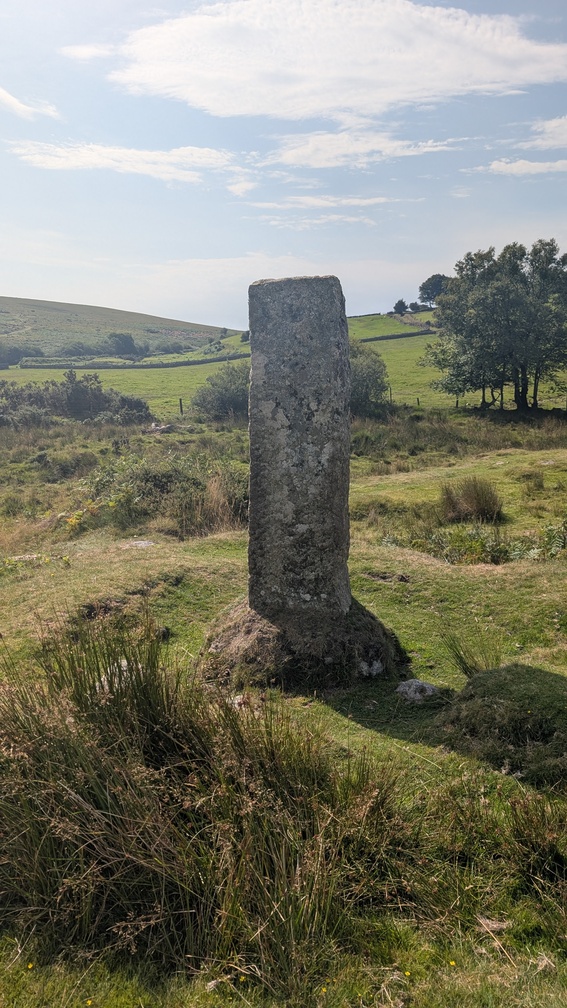
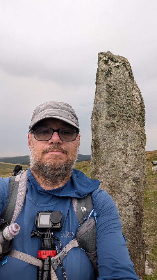
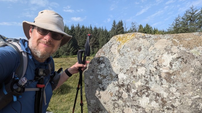
Back under way, it was a short walk up the road to spot the Heath Stone.
The next bit took me over some open ground – up onto Hurston Ridge and then on to Water Hill to visit the King’s Oven.
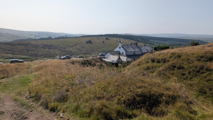
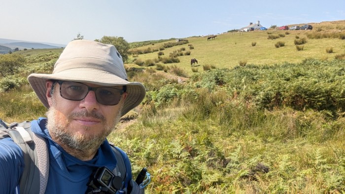
I’d expected to be well past the Warren House Inn by now, but it was 10 minutes away from opening time when I got there, so it seemed worth waiting. Indeed, I was ushered in 5 minutes before opening time. Waiting another hour for food to start, was a bit much though, so I downed my drink and headed on.
I found Wallabrook Head easily enough, it not being very far at all from the WHI
Following the exact boundary along the Wallabrook itself was a different matter, and there was no way I was going to attempt the bracken-fest that would involve. I opted to parallel it climbing up onto Soussons Down, passing the end of South Lodes Gully on the way.
This brought me naturally to Soussons Forest and the track through it. On the other side I picked up the bridleway that would take me to just east of Riddon, as even if I wanted to attempt to follow the Wallabrook closely, I’d have been scuppered by the gap in the access land at Cator.
At Riddon, though, I did try to follow the Wallabrook the rest of the way down to its foot, and what a crap time was had. There was a path of sorts at the field edge right by the brook, but it was seriously uneven, covered in dead vegetation and stratchy as hell. There may have been some swearing. Somehow I made it to Dartmeet car park and was relieved to find the snack hut there. I stopped for quite a long break here, then went and sat by the river to filter some water I’d got earlier out of the Wallabrook.
I finally got going, quite reluctantly, and detoured briefly to Dartmeet, before picking up the path up to Huccaby Farm.
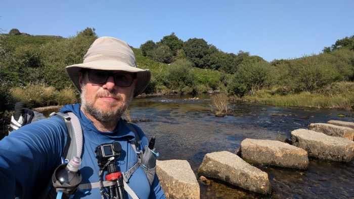
From Huccaby Farm a short descent brought me to the West Dart and the stepping stones at Weak Ford. Close by was the foot of the O Brook. I stopped here and sat on one of the stones, dunking various bits of myself and my clothing in the West Dart to cool down and feel fresher. It was uncomfortably hot by this time, and I was running out of steam.
Something about the climb up from the foot of the O Brook did for me. The path I was trying to follow wasn’t going in the right direction, and I ended up at the top of a barbed wire-lined field next to the road. There may have been some swearing. Given my proximity, I decided to call in at the Forest Inn, if I could only get across the fence. Luckily I found a gate to climb, and headed down the road to the Inn.
I’d looked at Google and found the Inn’s opening times: Noon to 10pm. Imagine my consternation to arrive and find it closed. No it’s real opening hours were 12-3pm and 6pm-10pm. Grrrr. It was just before 5pm, but I really wanted that cool drink, and moreover some thinking time. There may have been some very audible to people visible in the pub windows swearing.
Finally at 6pm I was in, and as I ordered a drink I enquired about rooms, finding there was one room left, and best of all it was the cheapest one. I bit their arm off.
I got myself cleaned up then down to the bar for dinner.
Day 3: Hexworthy to Great Mis Tor (31km, 809m ascent)
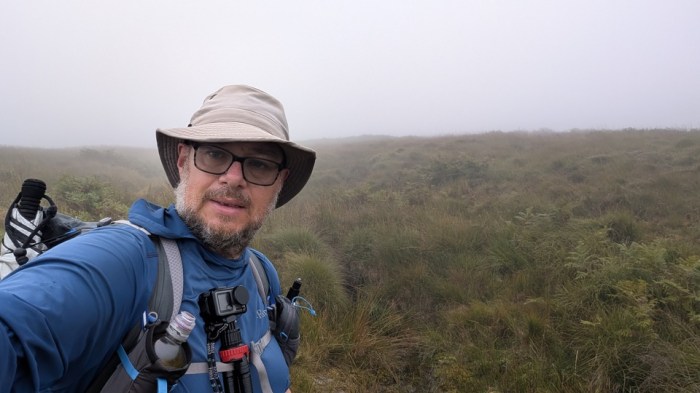
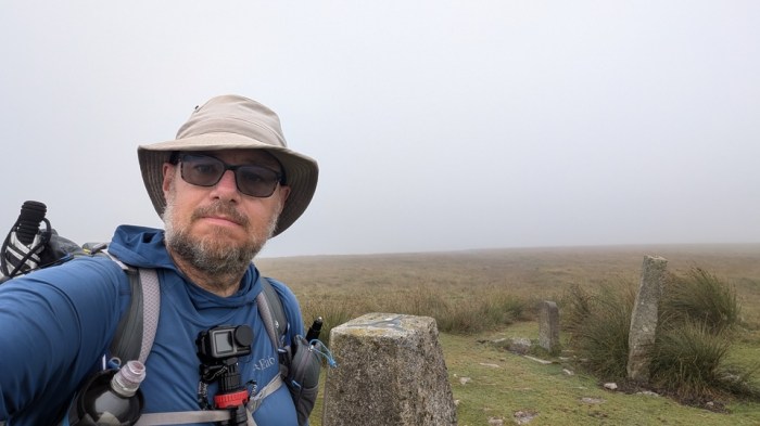
I’d planned to get as far as Eastern White Barrow the previous day, leaving me around 7-8km behind schedule. So I decided to get up and out early, leaving at 7am. I found the track up onto the moor which was mostly easy to follow. I wasn’t a fan of the visibility though.

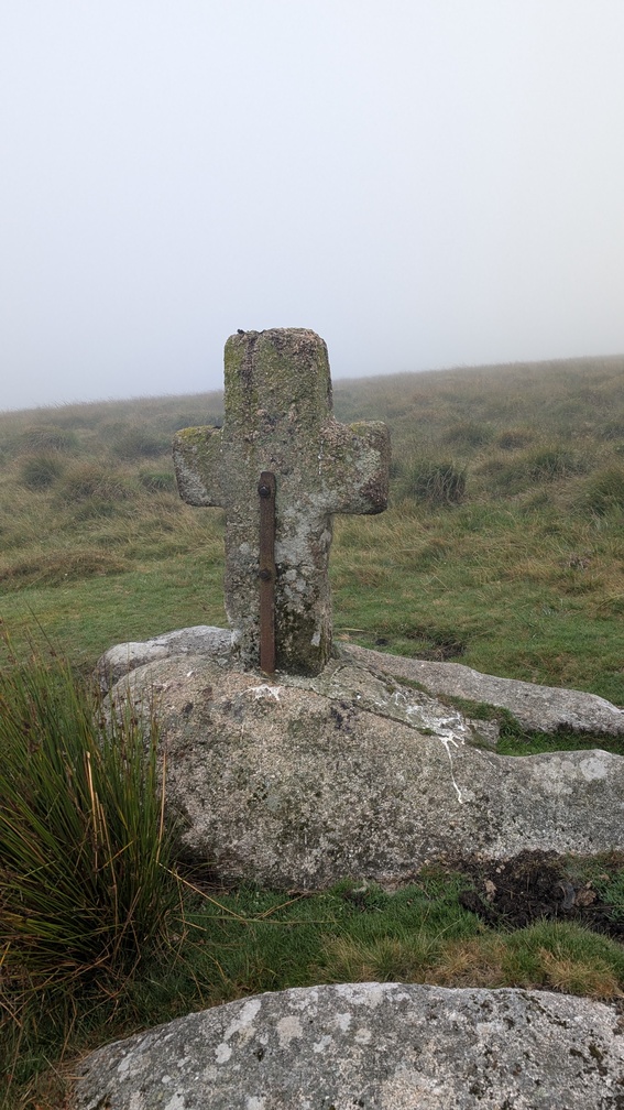
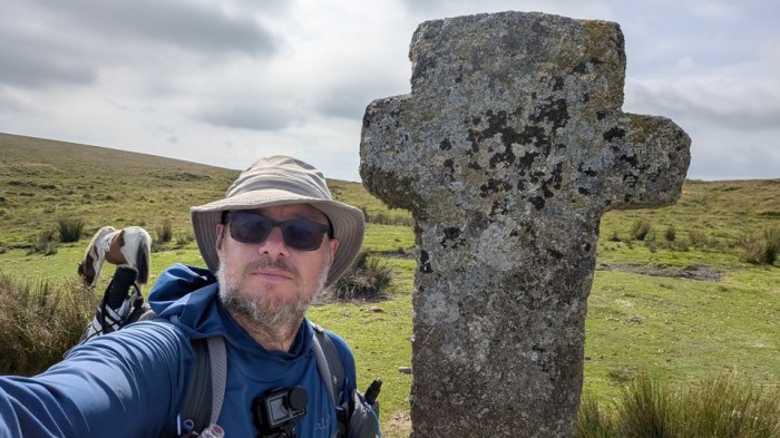
When I reached the cross beside the track, this was my cue to break off to head for the O Brook and the point where Drylake flowed into it.
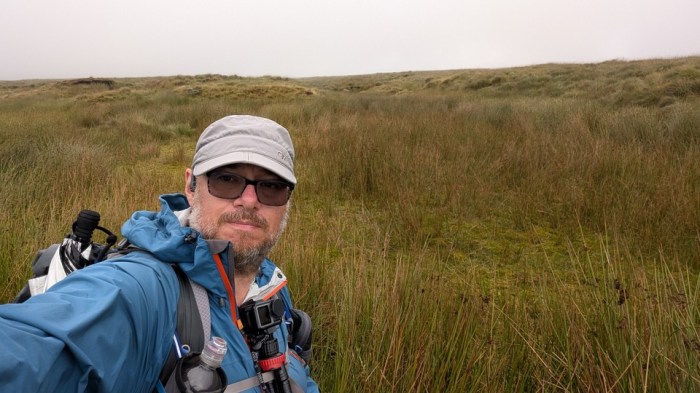
This was easier said than done, with high vegetation to negotiate, and even some trees. I got as close as I safely could. By now my legs were covered in small black bits off the reedy-grassy stuff I’d been wading through. There may have been some swearing.

Getting up Drylake to its head was a matter of finding the easiest way to penetrate loads of bracken, and then dealing with more reedy-grassy stuff. There may have been some swearing.
I didn’t manage to find a decent trodden route towards Ryder’s Hill, and so meandered a bit, using the gps on my phone to periodically correct my course – at this point I couldn’t see far enough to aim for any particular landmark. There may have been some swearing. I heaved a sigh of relief when I crossed Sandy Way, after which pathfinding up to the top of Ryder’s Hill was easier.
I had a good long sit at the trig point, while I wrestled with whether to continue or bail out, the latter being very much my preferred option at this point. Even with my early start, it felt like I was going to run out of time to get to Okehampton by mid-afternoon Thursday and I needed to be home for an appointment on Friday morning. It would be better in that case to manage my exit at a convenient point I could pick the route up again on a return visit. Quite obviously, the Two Moors way would provide just such an exit route. But before I could even do that I had more work to do.
I initially took a slightly wrong line off the summit, and it took me 100m or so before I could confirm this on my gps – I still couldn’t see much. I returned to the summit and struck off on the correct path towards Snowdon. As I reached the Western Wellabrook, I branched off to find its actual head.
Another bracken-filled valley stretched out below me, and so I climbed out of the shallow gully to follow the brook from the edge of the higher ground, which navigationally worked well, but didn’t save me from wading through reedy-grassy stuff, and the black bits transferred onto my legs. There may have been some swearing.
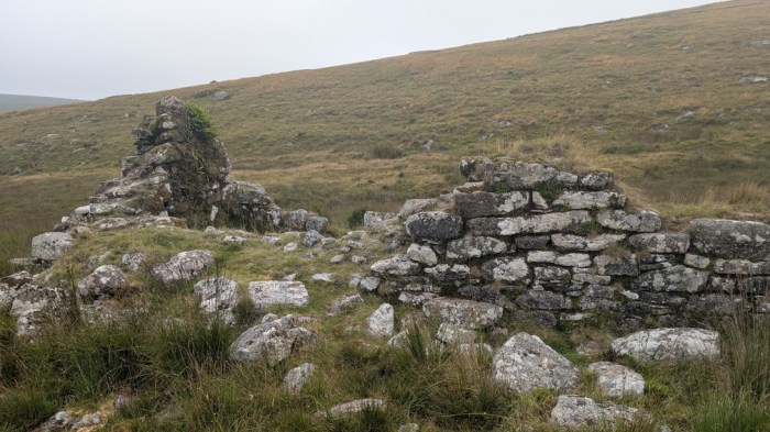
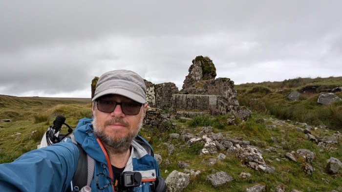
As I reached the side of Huntingdon Warren, I took a pause at the ruined house by the brook, amazed to see a tap in the end wall.
It was easy from there down to the foot of the brook and to cross the Avon.

To climb Eastern White Barrow, I decided to strike west a short way and pick up whatever was actually present of the footpath marked on the map. Even if there were nothing it was a more gradual climb than just going straight up. I wandered around a bit, but found a way up. A pause at the top, messages exchanged with Paul, and a decision to walk out to Ivybridge was made.
That decision was short-lived though, as I looked at the map and concluded that Princetown wasn’t much further in distance than Ivybridge, and I knew the terrain would get better once I reached/crossed the Two Moors Way. It then struck me that I could move my Friday appointment and remove my time constraint entirely. My return train tickets were valid for a month. Why was I giving myself this extra pressure?
By the time I reached Western White Barrow, I’d reversed my decision to bail, and decided to continue to Princetown. I could then bail there or carry on, but slowly the pendulum begun to swing back to sticking with it.
I dropped down to the Two Moors Way and left it behind. A short detour through some grazing cows got me to Redlake Foot.
I retraced my steps to pick up the bridleway rather than wade what looked like dodgy ground covered in cows. And then I was on a familiar path and all was good again. I walked up to Erme Pits and the ford.
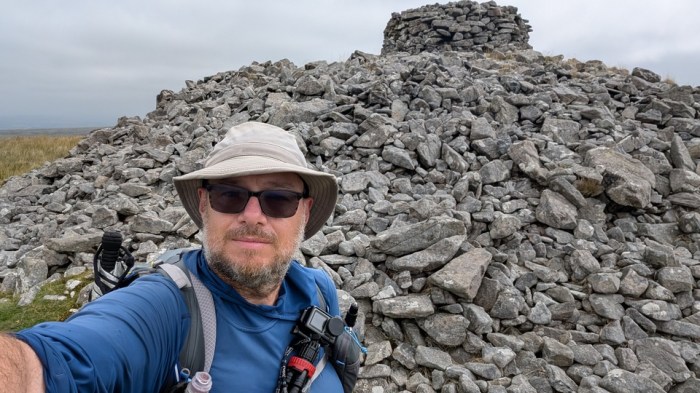
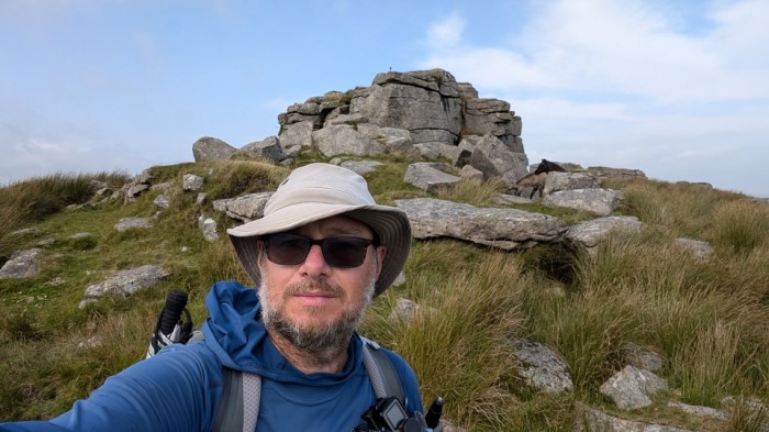
After a break, I carried onto Broad Rock and picked up the path down to Plym Ford. Spirits started to lighten. A gradual drag up to Eylesbarrow Mine and then a few minutes later I was at the Barrow itself.
Now I knew I’d make Princetown, and started thinking about where to aim for at day’s end. Unless I wanted to hang around Princetown itself, this meant camping on Great Mis Tor or beyond. I could see Great Mis from here.
The path across the moor to Nun’s Cross and Siward’s Cross was easy but seemed slow.
That may have been slow, but the path into Princetown seems to take forever. After South Hessary Tor I gave serious thought to camping in the tiny sliver of camping zone between there and Princetown. Indeed someone else was, but there was enough space for us to not encroach on each other. I didn’t want to be that close to the path though. And water would be tricky, so realistically meant going into Princetown to get some and going back. I certainly didn’t want to surrender precious progress.
Another option was camping at the Plume of Feathers, but I took one look at the slopiness of the site and decided against it. Instead I headed for the local shop, bought a couple of small bottles of water as an insurance policy then headed to the toilets. A 20p entrance fee secured me 2 litres of water that even if not great to drink neat would be fine boiled up for dinner and hot drinks.
I got on my way – two climbs between me and camp. First North Hessary Tor.
I let my tired legs take the easy way of the service road, rather than the footpath direct to my next checkpoint. A short walk along the road got me back to the boundary stone by the stile.
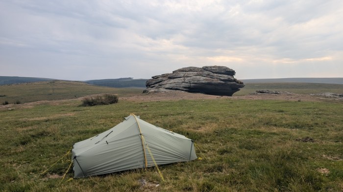
Across the road and a climb up to Great Mis Tor was all that was left. Better still, I seemed to have the tor to myself, and I think it stayed that way all night.
Day 4: Great Mis Tor to Rowtor
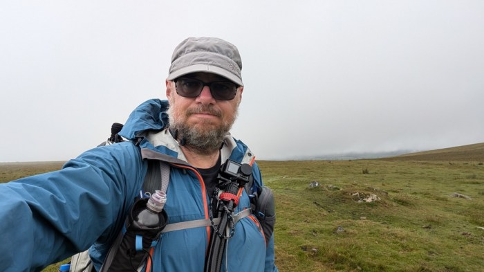
I’d pitched on the east side of the tor to break as much of the wind as possible, but it still lashed the tent in the night, along with sheets of rain. I woke to more mist and not much visibility. I wasn’t worried – I was, I thought, on familiar ground. Today would be straightforward.
Ha ha ha ha ha ha ! It wasn’t. There ensued plenty of swearing.
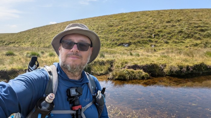
I got down off Great Mis no problem, and over Greena Ball. I could see far enough to see Deadlake dropping down to the Walkham ahead of me. I got across the Walkham with dry feet.
Next was an almost straight line over Cocks Hill to White Barrow. The trodden routes underfoot didn’t make it quite as straight as that, but it wasn’t too bad. I hit White Barrow quite easily.
It started to go awry on the next bit. Convinced there was a scrap of path leading towards Lynch Tor, or at least that’s what my memory told me, I wasted some time looking for it, then took the first trodden route heading that way. I ended up zigzagging all over the place and several times gps-ed myself back to the line of the boundary shown on the map. Every time I followed a trodden route north, it veered off to the side making the cycle start again. I couldn’t see far enough to do any better. I didn’t want to wade vegetation the whole way either. Curse words were used.
Eventually Limsboro’ Cairn loomed out of the mist.
I now made some even bigger deviations trying to find a walkable route to pick up the range poles, correcting myself again and again. Yep, more swearing. A pole finally appeared and I seized upon it. Luckily I could also see to the next one, and so I now made decently linear progress to Western Red Lake and its foot. Crossing the Tavy was easy here too – a matter of some rock hopping. Last time I tried to cross the Tavy it had been a thigh-deep wade.
I then tried to hug the north bank of the Tavy, which was harder than it sounds due to outcrops leaving me perilously close to falling in. A good healthy dose of swearing here too. I made it in the end and walked out on the little peninsula to the confluence of the Tavy and Rattlebrook.
I now made poor choices of route going up the Rattlebrook. Initially starting on the east side, which was fine, the path came to a ford to switch sides to the west bank, and stupidly I didn’t stick with it across the stream, as I couldn’t see that the path obviously continued. I could see ways through the long grass and bracken on the side I was on so did that.
It didn’t take very long for me to realise I’d cocked up – the path on the west side was pretty obvious, while I was battling vegetation. I ended up walking through the brook to gain the western path. Then back again when it looked like it had switched sides, before retracing my steps back to the west. Far too much dithering, all caused by my memory of coming down the Rattlebrook on a previous trip and not having difficult path-finding. (I now realise that memory is actually of walking down the Amicombe Brook 🤦🏻)

After I’d committed to the western bank, it was ok and this got me to Bleak House. But not before a lot of swearing.
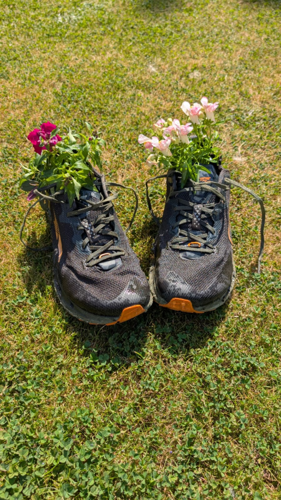
There was a path taking me north parallel to the Rattlebrook, but it was so wet it was almost a canal. By now I’d done so much wet ground, that my feet were soaked and I just walked straight through the puddles. Indeed, my shoes had slowly developed 2 inch gashes in the mesh on each foot, and there was no way these shoes were making it home. I wasn’t swearing about that as I always knew this was their swansong.
The path/canal eventually ran out and I now had to try to find the head of the Rattlebrook myself. The track that passes close to it, simply didn’t exist in any meaningful form, so having waded through swamp to the head, I then didn’t have something to help get me moving along to my next target.
I admit to going around in circles a bit. At some point I found where the track should be, but it was basically a rough vegetated gully. It did eventually develop into a path of sorts, but as this curved around to make for Kitty Tor, I branched off on a semblance of a path to head for Stenga Tor.
Of course, this “path” ran out and I ended up lurching through waist high reedy-grass crap once more, except this time with added foot-placement peril. There was a certain amount of stumbling. There may have been some extremely vicious swearing. Maybe even some crying for my mummy.
In my mind, and from people I’ve had anecdotes from, Stenga Tor was always the big nasty boggy thing on this walk. But that’s utter horse**** – I’d already encountered far worse. Yes it was far from dry underfoot, but by now my feet were flippers and I was just glad to see the sanctuary of the other side of the West Okement on the other side of the valley.
I contoured around through hopefully my last long reedy-grassy stuff of the trip, to pick up the path down to sandy Ford from Kitty Tor. Then a careful descent, across the ford and a final pause for a rest before tackling the biggest climb of the day.
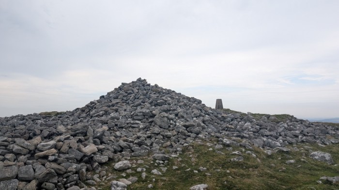
200m above was the roof of Devon. There was an actual path and it was gradual enough that I could do it without stopping if I went at the right pace. Soon I was on Fordsland Ledge
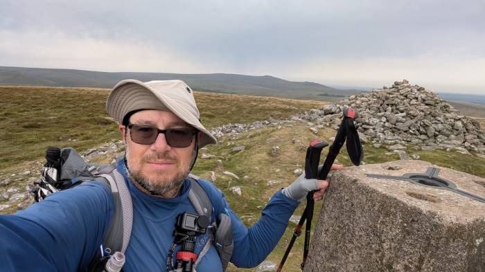
A mere 40m above was High Willhays and I was suddenly the highest person in Southern England. Better still the end was in sight.
I practically danced along to Yes Tor, climbed up and ticked off the last boundary point. A message from Paul to say he’d pick me up at Rowtor, and I was happy to accept rather than walk down to Okehampton station or beyond to his house. I just had a concern that I’d complete a circuit by being picked up there, as I couldn’t quite place the car park exactly in my memory.
I took the easy way down on the tracks rather than descend direct to West Mill tor and then repeat the process. As I reached Rowtor, Paul waved from the top of a rock, and I headed over, chatted a bit, said hello to some dogs, and then headed for the car. I was relieved that the car park I had walked past on day 1, so a circuit had been completed.

Thoughts on the walk
I’ve wanted to do this walk for years, and finally I can say it’s done. Doing it solo, camping and as a thru hike is very much how I wanted to do it, and that’s what happened. I knew as I was weighing up bailing vs continuing that I might never come back to finish it if I stopped, and that making myself finish it now would do wonders for me mentally when faced with such challenges on future walks. I’ve bailed many a walk for less.
I think it’s fair to say that this is probably the toughest Dartmoor walk I’ve ever done, and how I avoided bailing out at the southern end, I’m not sure. So I’m pleased I stuck with it. Sometimes you just need to do what you need to do to stay in the game, and that’s very much what happened this time.
Now I just need to stop scratching the bites on my legs long enough for them to heal, and hope I’ve not picked up some ticks I haven’t seen yet.
My shoes didn’t even make it inside Paul’s house – they were left in the front garden next to his collection of old boots-cum-flowerpots. He sent me this picture today…
An amazing account of your expedition. I completed this walk in 2020 and definitely agree it is tough! A lot of walking off paths and through bogs. I tried to do it in 24 hours but ended up taking just over 30 hours after a diversion for impassable stepping stones and an encounter with cattle in the dark https://trekkingadventuresbackpacking.com/2020/06/23/maps-191-and-202-dartmoor-perambulation/
You can apply to be included on a list of completers!
LikeLike
Yes, I’ve already applied. Kudos for doing trying to do it continuous in 24 hours! I wouldn’t have wanted to do the bits along Wallabrook or on the south moor in the dark – it was hard enough in the daylight!
LikeLike
Well done on many counts. Its something to be proud of.
I was fortunate to beat the bounds one year, went the opposite way, I only wished I had a recorded it..All committed to mind memory now. Still reading, you’re journal gave me plenty to reminis.
LikeLike